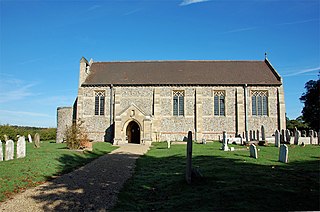
Dilham is a village and civil parish in the English county of Norfolk. The village is located 4.3 miles south-east of North Walsham and 12 miles north-east of Norwich, and is situated on the River Ant.

East Ruston is a village and a civil parish in the English county of Norfolk. The village is located 4.1 miles (6.6 km) south-east of North Walsham and 14 miles (23 km) north-east of Norwich.

Denver is a village and civil parish in the English county of Norfolk. The village is situated on the River Great Ouse, approximately 1 mile (1.6 km) south of the small town of Downham Market, 14 miles (23 km) south of the larger town of King's Lynn, and 37 miles (60 km) west of the city of Norwich.

Bradwell is a village and civil parish in the English county of Norfolk. The village is immediately to the west of, and largely indistinguishable from, the built-up urban area of the town of Great Yarmouth.

Denton is a village and civil parish in the English county of Norfolk. Denton is located 3.8 miles north-east of Harleston and 13 miles south of Norwich.

Cringleford is a civil parish and village in the English county of Norfolk. The village sits on the River Yare and forms part of the outskirts of Norwich.
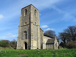
Dunton is a village and civil parish in the North Norfolk district, in the county of Norfolk, England. It is located about 5 kilometres (3.1 mi) west of Fakenham and 41 kilometres (25 mi) north-west of Norwich.
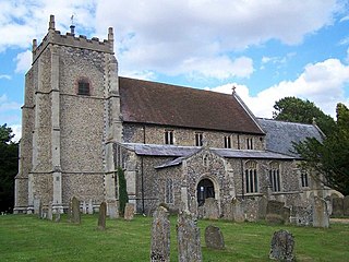
Carleton Rode is a village and civil parish in Norfolk, England. It is situated approximately five miles south-east of Attleborough. In the 2011 Census, Carleton Rode was recorded as having a population of 785 people in 324 households.

Brooke is a village and civil parish in the South Norfolk district of Norfolk, England, about 7 miles south of Norwich and roughly equidistant from Norwich and Bungay.
Broome is a village and civil parish in the English county of Norfolk. It is situated on the north bank of the River Waveney, which forms the border with Suffolk, some 2 km north of the town of Bungay and 20 km south-east of the city of Norwich.
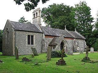
Brundall is a village and civil parish in the English county of Norfolk. It is located on the north bank of the River Yare opposite Surlingham Broad and about 7 miles (11 km) east of the city of Norwich.

Brandon Parva is a village and former civil parish, now in the parish of Brandon Parva, Coston, Runhall and Welborne, in the South Norfolk district, in the county of Norfolk, England. It is near East Dereham and Norwich.
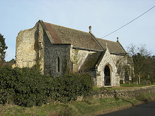
Cockley Cley is a village and civil parish in the English county of Norfolk. The village covers an area of 17.94 km2 (6.93 sq mi) and falls within the district of Breckland.

Cranwich is a village and civil parish in the English county of Norfolk, about 2 miles (3.2 km) northwest of Mundford. For the purposes of local government, it falls within the district of Breckland.
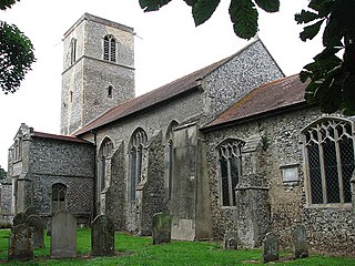
Colby is a village and a civil parish in the English county of Norfolk. The village is 8.6 miles (13.8 km) south of Cromer, 16.8 miles (27.0 km) north-north-west of Norwich, 5.2 miles (8.4 km) west-north-west of North Walsham and 131 miles (211 km) north-east of London.
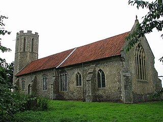
Buckenham is a small village in the civil parish of Strumpshaw, in the Broadland district, in the county of Norfolk, England, situated on the northern bank of the River Yare around 7 miles (11 km) south-east of Norwich. In 1931 the parish had a population of 128.

East Rudham is a village and civil parish in the English county of Norfolk. The village is located 14 miles (23 km) north-east of King's Lynn and 28 miles (45 km) north-west of Norwich.

East Raynham is a village and former civil parish, now in the parish of Raynham, in the North Norfolk district, in the county of Norfolk, England. It is located on the A1065 some 4 miles (6.4 km) south-west of Fakenham. The River Wensum flows close to the village. The village can trace its origins back and before the Domesday survey of 1086 when it was known as Reinham. Raynham, Massachusetts, took the village's name at its incorporation in 1731 at the time of Charles Townshend, 2nd Viscount Townshend (1674–1738), Leader of the House of Lords. In 1931 the parish had a population of 130.

Bradfield is a village and former civil parish, now in the parish of Swafield, in the North Norfolk district, in the county of Norfolk, England. The village is 7.6 miles (12.2 km) south south east of Cromer, 18.1 miles (29.1 km) north north east of Norwich and 135 miles (217 km) north east of London. The village lies 3.1 miles (5.0 km) north north west of the town of North Walsham. In 1931 the parish had a population of 136.
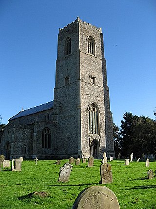
Carbrooke is a village and civil parish in the Breckland district of Norfolk, England. It is 3 miles (4.8 km) from the centre of Watton and 17 miles (27 km) from Thetford. In the 2011 Census, Carbrooke had a population of 2,073 people in 835 households.


