Springvale is a suburb in Melbourne, Victoria, Australia, 22 km (14 mi) south-east of Melbourne's Central Business District, located within the City of Greater Dandenong local government area. Springvale recorded a population of 22,174 at the 2021 census.

The Division of Higgins is an Australian Electoral Division in Victoria for the Australian House of Representatives. The division covers 41 km2 (16 sq mi) in Melbourne's inner south-eastern suburbs. The main suburbs include Armadale, Ashburton, Carnegie, Glen Iris, Kooyong, Malvern, Malvern East, Murrumbeena, Prahran and Toorak; along with parts of Camberwell, Ormond and South Yarra. Though historically a safe conservative seat, Higgins was won by the Liberal Party by a margin of just 3.9 percent over the Labor Party at the 2019 election, the closest result in the seat’s history. It then flipped to Labor in the 2022 election.
The Division of Canberra is an Australian electoral division in the Australian Capital Territory. It is named for the city of Canberra, Australia's national capital, and includes all of central Canberra, Kowen, Majura, as well as part of Weston Creek, Woden Valley, Molonglo Valley, Belconnen, and Jerrabomberra. It is currently held by Alicia Payne of the Labor Party.

The Division of Aston is an Australian Federal Electoral Division in the state of Victoria. The division is located in the eastern suburbs of Melbourne, coextensive with the City of Knox local government area. The suburbs in the division include Bayswater, Boronia, Ferntree Gully, Knoxfield, Rowville, Scoresby, The Basin, Wantirna and Wantirna South; and parts of Lysterfield, Sassafras and Upper Ferntree Gully.

The Division of Bruce is an Australian Electoral Division in the state of Victoria. The division is located in the south-eastern suburbs of Melbourne. It covers an area of approximately 115 square kilometres (44 sq mi) including the suburbs of Dandenong North, Doveton, Endeavour Hills, Eumemmerring, Hallam, Lysterfield South, Narre Warren, and Narre Warren North; and parts of Berwick, Dandenong, Harkaway, Mulgrave, Narre Warren South, Noble Park, and Noble Park North.

The Division of Casey is an Australian electoral division in the state of Victoria. The division was created in 1969 and is named for Richard Casey, who was Governor-General of Australia 1965–69.

The Division of Chisholm is an Australian Electoral Division in Victoria located in the eastern suburbs of Melbourne. The division was created in 1949 and is named after Caroline Chisholm, a social worker and promoter of women's immigration.

The Division of Flinders is an Australian Electoral Division in Victoria. The division is one of the original 65 divisions contested at the first federal election. It is named after Matthew Flinders, the first man to circumnavigate Australia, and the person credited with giving Australia its name.
The Division of Boothby is an Australian federal electoral division in South Australia. The division was one of the seven established when the former Division of South Australia was redistributed on 2 October 1903 and is named after William Boothby (1829–1903), the Returning Officer for the first federal election.

The Division of Curtin is an Australian electoral division in Western Australia.
The Division of Goldstein is an Australian Electoral Division in Victoria. The division was created in 1984, when the former Division of Balaclava was abolished. It is located in the bayside suburbs of Melbourne, including Beaumaris, Bentleigh, Brighton, Caulfield South, Cheltenham (part), Glen Huntly (part), Elsternwick (part), Ormond (part), Gardenvale and Sandringham

The Division of Wentworth is an Australian electoral division in the state of New South Wales. The division encompasses the suburbs to the east of Sydney CBD, mostly Woollahra and Waverley council in Sydney's Eastern Suburbs.

The Division of Jagajaga is an Australian Electoral Division in the state of Victoria. It is located in the north-eastern suburbs of Melbourne, and lies north of the Yarra River. It covers an area of approximately 104 square kilometres and comprises the suburbs of Bellfield, Briar Hill, Diamond Creek, Eaglemont, Greensborough, Heidelberg, Heidelberg Heights, Heidelberg West, Ivanhoe, Ivanhoe East, Lower Plenty, Montmorency, Plenty, Rosanna, St Helena, Viewbank, Yallambie, Watsonia and Watsonia North; and parts of Bundoora, Eltham, Eltham North, Hurstbridge, Macleod, Wattle Glen and Yarrambat.

The Division of Menzies is an Australian Electoral Division in the state of Victoria.

The Division of Maribyrnong is an Australian electoral division in the state of Victoria. It is located in the inner north-western suburbs of Melbourne. Suburbs include Aberfeldie, Airport West, Avondale Heights, Essendon, Footscray, Gowanbrae, Keilor East, Maribyrnong, Moonee Ponds, Niddrie, West Footscray and Tullamarine. Due to redistributions, the division has been slowly moving west and changed with the introduction of the Division of Fraser in 2018. According to the 2011 census, Maribyrnong has the highest proportion of Catholics in any Commonwealth Electoral Division in Australia with 41.6% of the population.

The Division of Isaacs is an Australian Electoral Division in the state of Victoria. It is located in the south-eastern suburbs of Melbourne, on the eastern shores of Port Phillip Bay. It covers the suburbs of Mordialloc, Keysborough (part), Waterways, Cheltenham (part), Dingley Village, Chelsea, Aspendale, Aspendale Gardens, Edithvale, Bonbeach, Patterson Lakes, Carrum, Parkdale, Mentone, Dandenong South, Highett, Heatherton and Moorabbin.
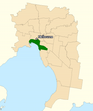
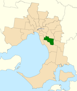
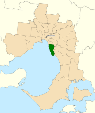
The Division of Melbourne Ports was an Australian federal electoral division in the inner south-eastern suburbs of Melbourne, Victoria, Australia. It was located to the south of Melbourne's central business district and covered an area of approximately 40 km2 around the north and north-eastern shores of Port Phillip Bay.

The Scotchmans Creek Trail is a shared use path for cyclists and pedestrians, which follows Scotchmans Creek through the eastern suburbs of Melbourne, Victoria, Australia.

The electoral district of Clarinda is an electoral district of the Victorian Legislative Assembly in Australia. It was created for the 2014 state election and is represented by Meng Heang Tak for the Labor Party.

The electoral district of Keysborough was an electoral district of the Victorian Legislative Assembly in Australia. It was created in the redistribution of electoral boundaries in 2013, and came into effect at the 2014 state election.