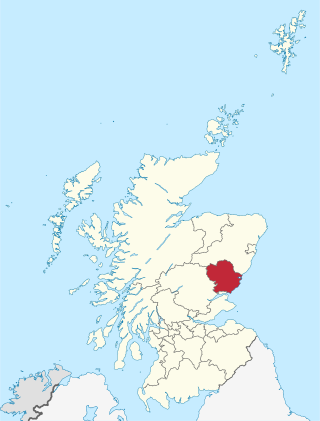
Angus is one of the 32 local government council areas of Scotland, a registration county and a lieutenancy area. The council area borders Aberdeenshire, Dundee City and Perth and Kinross. Main industries include agriculture and fishing. Global pharmaceuticals company GSK has a significant presence in Montrose in the north of the county.
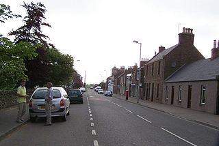
Friockheim is a village in Angus, Scotland dating from 1814. It lies between the towns of Arbroath, Brechin, Forfar and Montrose.

Angus is a county constituency of the House of Commons of the Parliament of the United Kingdom. It elects one Member of Parliament (MP) by the first-past-the-post voting system. It is currently represented by Dave Doogan of the Scottish National Party who has been the MP since 2019.

East Haven is a fishing village in the council area of Angus, Scotland. It is situated 1.5 miles (2 km) east of Carnoustie and 5 miles (8 km) south west of Arbroath. The closest city, Dundee, is 13 miles (21 km) to the west.

Clan Guthrie is a Scottish clan.
Letham is a village in Angus, Scotland.

The Aberdeen Railway was a Scottish railway company which built a line from Aberdeen to Forfar and Arbroath, partly by leasing and upgrading an existing railway.

The Arbroath and Forfar Railway (A&FR) was a railway that connected Forfar with the port town of Arbroath, in Scotland.
Oathlaw is a village in Angus, Scotland, 4 miles north of Forfar.

Caldhame is a village in Angus, Scotland. It lies approximately 1 mile to the south of Forfar.

Marywell is a village in Angus, Scotland, that is north of Arbroath, in the parish of St Vigeans.

Inverarity is a village in Angus, Scotland, UK, on the A90, 6 miles from Forfar, and 7 miles from Dundee. The nearest villages are Gateside, Invereighty, Kincaldrum and Gallowfauld. Inverarity used to be in the old county of Forfarshire. Its name means "creek of Arity".
Kingsmuir is a small village in Angus, one mile south-east of Forfar on the B9128 Carnoustie to Forfar road.
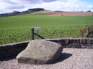
Kirkbuddo is a village in the county of Angus, Scotland, between the towns of Forfar and Carnoustie. Nearby lie the remains of a temporary Roman marching camp dating to the third century AD. A worn type II Pictish stone was found in the kirkyard there in the mid-twentieth century and has subsequently been donated to the Meffan institute in Forfar.

Muirdrum is a small village in the council area of Angus, Scotland. It is situated at the junction of the old A92 road from Dundee to Arbroath, the A930 to Carnoustie and B9128 to Forfar. Its closest town is Carnoustie, which lies approximately 2 km (1 mi) to the south.
The Forfar and Brechin Railway was promoted as a possible alternative main line to part of the Caledonian Railway route between Perth and Aberdeen. It was opened in 1895, having been sold while incomplete to the Caledonian Railway.

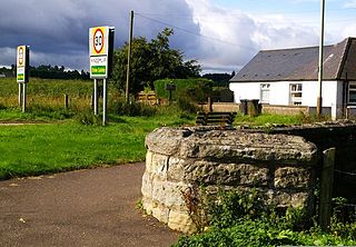
Guthrie railway station served the village of Guthrie, Angus, Scotland from 1838 to 1955 on the Arbroath and Forfar Railway.
The Angus derby is a football rivalry that is based in Angus, Scotland. Matches are contested between any two SPFL clubs from Arbroath, Montrose, Forfar Athletic and Brechin City. All four sides regularly compete within the same leagues and therefore often face each other, and it is rare to find a season without a matchup between at least two of the Angus teams.

