The following highways are numbered 680.
| Preceded by 679 | Lists of highways 680 | Succeeded by 681 |

Interstate 780 (I-780) is an east–west auxiliary Interstate Highway in the San Francisco Bay Area of Northern California. It runs from Curtola Parkway and Lemon Street in Vallejo to I-680 just north of the Benicia–Martinez Bridge in Benicia. It closely parallels the Carquinez Strait for its entire route. Originally, this segment was part of I-680 before that Interstate was extended and rerouted to Fairfield. The city-maintained Curtola Parkway continues west from I-80 to State Route 29 (SR 29) in Vallejo.

Interstate 680 (I-680) is a north–south auxiliary Interstate Highway in Northern California. It curves around the eastern cities of the San Francisco Bay Area from San Jose to I-80 at Fairfield, bypassing cities along the eastern shore of San Francisco Bay such as Oakland and Richmond while serving others more inland such as Pleasanton and Concord.

Interstate 280 (I-280) is a 57.22-mile-long (92.09 km) major north–south auxiliary Interstate Highway in the San Francisco Bay Area of Northern California. It runs from I-680 and US Route 101 (US 101) in San Jose to King and 5th streets in San Francisco, running just to the west of the larger cities of San Francisco Peninsula for most of its route.
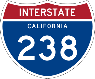
Route 238, consisting of State Route 238 (SR 238) and Interstate 238 (I-238), is a mostly north–south state and auxiliary Interstate highway in the San Francisco Bay Area of California. The southern segment is signed as SR 238 and is a divided multilane surface highway that runs parallel to the Hayward hills between I-680 in Fremont and I-580 in Castro Valley. The northern segment is signed as I-238 and is a six-lane freeway that runs more east–west between I-580 and I-880 in San Leandro.
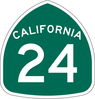
State Route 24 is a heavily traveled east–west state highway in the U.S. state of California that serves the eastern side of the San Francisco Bay Area. A freeway throughout its entire length, it runs from the Interstate 580/Interstate 980 interchange in Oakland, and through the Caldecott Tunnel under the Berkeley Hills, to the Interstate 680 junction in Walnut Creek. It lies in Alameda County, where it is highly urban, and Contra Costa County, where it passes through wooded hillsides and suburbs. SR 24 is a major connection between the San Francisco–Oakland Bay Bridge/MacArthur Maze complex and the inland cities of the East Bay.
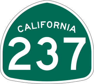
State Route 237 is a state highway in the U.S. state of California that runs from El Camino Real in Mountain View to Interstate 680 in Milpitas. Known as the Southbay Freeway for most of its length, SR 237 runs south of the San Francisco Bay, connecting the East Bay to the Peninsula.

State Route 262 (SR 262) is a state highway entirely within the Warm Springs District of Fremont, California. It runs along the 1.07-mile (1.72 km) segment of Mission Boulevard between I-880 to the west and I-680 to the east. The route is heavily trafficked, going through a commercial district and containing at least two stop lights.
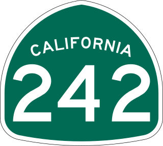
State Route 242 is a three-mile (5 km) state highway in the U.S. state of California that links Interstate 680 north of Pleasant Hill to State Route 4 in Concord in Contra Costa County. Along with Interstate 580, State Route 24, Interstate 680 and State Route 4, it serves as the most direct route between the San Francisco Bay Area and the Sacramento–San Joaquin River Delta region.

In Ohio, State Route 680 may refer to: