Petershausen

Last updated
Petershausen
Petershausen (Obb.) - St. Laurentius (I).jpg
St. Laurentius Church - Petershausen
DEU Petershausen COA.svg
Location of Petershausen within Dachau district
Petershausen in DAH.svg
Germany adm location map.svg
Red pog.svg
Petershausen
Bavaria location map.svg
Red pog.svg
Petershausen
Coordinates: 48°24′37″N11°28′15″E / 48.41028°N 11.47083°E / 48.41028; 11.47083 Coordinates: 48°24′37″N11°28′15″E / 48.41028°N 11.47083°E / 48.41028; 11.47083
Country Germany
State Bavaria
Admin. region Oberbayern
District Dachau
Subdivisions18 Ortsteile
Government
   Mayor (202026) Marcel Fath [1] (FW)
Area
  Total32.82 km2 (12.67 sq mi)
Elevation
460 m (1,510 ft)
Population
 (2020-12-31) [2]
  Total6,599
  Density200/km2 (520/sq mi)
Time zone UTC+01:00 (CET)
  Summer (DST) UTC+02:00 (CEST)
Postal codes
85238
Dialling codes 08137
Vehicle registration DAH
Website www.petershausen.de

Petershausen is a municipality in the district of Dachau in Bavaria in Germany.

Contents

Geography

Petershausen is located in the valley of the Glonn with extensive floodplains. Much of the area outside of Petershausen is part of a nature preserve.

History

The area around Petershausen has been inhabited for centuries by the Celts of the Vindelici tribe. There are burial mounds that date as far back as 1500 BC near Petershausen (Obermarbach). [3]

The Romans and early Bavarians also inhabited the area.

During Roman occupation, a road from Salzburg to Augsburg passed through Petershausen. Part of this road would be used for oxen/cattle trading during the Middle Ages.

The place name 'Petershausen' was first mentioned in a church document 1116 AD, concerning the local church (St. Laurentius). [4]

The 'Pertrichhof' in the center of the village was built around 1500 as a tavern and still exists today as a charming 'Wirtshaus'.

Pertrichhof tavern in Petershausen. Built ca. 1500 Petershausen Marktplatz 1 191.jpg
Pertrichhof tavern in Petershausen. Built ca. 1500

The town and church were greatly damaged during the Thirty Years War and by plague.

During the War of the Spanish Succession in 1704, the Austrians looted the church.

Since 1755 there was a school in Petershausen.

In 1867 the Munich - Ingolstadt railway line, on which the Petershausen station is located, was built.

The town symbol (coat of arms) of Petershausen is a fish and a plow. [5]

Development

Between 1988 and 2018 the parish grew from 4,481 to 6,551. [6]

The mayor (Bürgermeister) has been Marcel Fath from the Free Voters Party since May 2014. [7]

Today Petershausen is the northern end of S-Bahn line 2, but is also served by regional trains every hour to half an hour and is on the Munich railway line.

Related Research Articles

Oberhaching Municipality in Bavaria, Germany

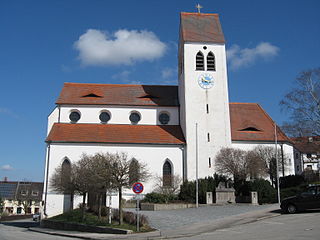
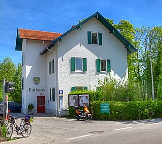
Oberhaching is a municipality in Bavaria, Germany, with 13,638 inhabitants (2020) on an area of 26.6 km2 (10.3 sq mi). It is located 15 km (9.3 mi) south of Munich city centre and has a 1,250 year history.

Puchheim Town in Bavaria, Germany

Puchheim is a town near Munich in the district of Fürstenfeldbruck, in Bavaria, Germany. It has about 20,000 inhabitants.

Karlsfeld Municipality in Bavaria, Germany

Karlsfeld is a municipality in the district of Dachau, in Bavaria, Germany. During World War II, it was the location of a subcamp of Dachau concentration camp.

Gilching Municipality in Bavaria, Germany

Gilching is a municipality in the district of Starnberg, in Bavaria, Germany. It is situated 13 km north of Starnberg, and 22 km west of Munich (centre). The quarters Argelsried, Neugilching and Geisenbrunn belong to the municipality of Gilching. Gilching can be easily reached using the Munich area public transportation. One S-Bahn Railway Station is called "Neugilching" which is directly situated at the S8 line - formerly it was the S5 line - in the "Herrsching" direction.

Oberschleißheim Municipality in Bavaria, Germany

Oberschleißheim is a municipality in the district of Munich, in Bavaria, Germany. It is located 13 km north of Munich (centre). As of 2005 it had a population of 11,467.

Haimhausen Municipality in Bavaria, Germany

Haimhausen is a municipality located on the Amper River in the district of Dachau in Bavaria, Germany, about 20 Kilometers north of Munich.

Altomünster Municipality in Bavaria, Germany

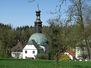
Altomünster is a municipality in the district of Dachau in Bavaria in Germany.

Markt Indersdorf Municipality in Bavaria, Germany

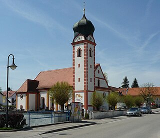
Markt Indersdorf is a municipality in the district of Dachau in Bavaria in Germany.

Odelzhausen Municipality in Bavaria, Germany

Odelzhausen is a town and municipality in the west of the region of "Dachau". The administrative collectivity of Odelzhausen consists of Odelzhausen and the townships of Sulzemoos and Pfaffenhofen an der Glonn.

Röhrmoos Municipality in Bavaria, Germany

Röhrmoos is a municipality in the district of Dachau in Bavaria in Germany. It is located ca. 25 km northwest of München. The community is located between the Amper and Glonn valleys.

Vierkirchen Municipality in Bavaria, Germany

Vierkirchen is a municipality in the district of Dachau in Bavaria in Germany.

Fahrenzhausen Municipality in Bavaria, Germany

Fahrenzhausen is a municipality located on the river Amper in the district of Freising in Bavaria in Germany. The town is about 30 Kilometers north of Munich.

Langenbach, Bavaria Municipality in Bavaria, Germany

Langenbach is a municipality in the district of Freising in Bavaria in Germany.

Türkenfeld Municipality in Bavaria, Germany

Türkenfeld is a municipality in the district of Fürstenfeldbruck in Bavaria in Germany.

Igling Municipality in Bavaria, Germany

Igling is a municipality in the district of Landsberg in Bavaria in Germany.

Utting am Ammersee Place in Bavaria, Germany

Utting am Ammersee is a municipality in the district of Landsberg in Bavaria in Germany.

Hausham Municipality in Bavaria, Germany

Hausham is a municipality in the district of Miesbach in Bavaria in Germany.

Hohenbrunn Municipality in Bavaria, Germany

Hohenbrunn is a municipality in the district of Munich in Bavaria, Germany.

Fischen Municipality in Bavaria, Germany

Fischen im Allgäu is a municipality in the district of Oberallgäu in Bavaria in Germany.

Tuntenhausen Municipality in Bavaria, Germany

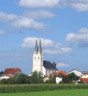
Tuntenhausen is a municipality in the district of Rosenheim in Bavaria in Germany.

References

  1. Liste der ersten Bürgermeister/Oberbürgermeister in kreisangehörigen Gemeinden, Bayerisches Landesamt für Statistik, accessed 19 July 2021.
  2. "Tabellenblatt "Daten 2", Statistischer Bericht A1200C 202041 Einwohnerzahlen der Gemeinden, Kreise und Regierungsbezirke". Bayerisches Landesamt für Statistik (in German). June 2021.
  3. Süddeutsche Zeitung. 24 August 2017. 'Aus ganz besonderem Holz'. https://www.sueddeutsche.de/muenchen/dachau/sz-serie-geschichten-aus-dem-dachauer-land-erste-folge-aus-ganz-besonderem-holz-1.3638128
  4. "Kirchen und Kapellen im Landkreis Dachau".
  5. https://www.hdbg.eu/gemeinden/index.php/detail?rschl=9174136
  6. https://www.statistik.bayern.de/mam/produkte/veroffentlichungen/statistische_berichte/a1210c_201800.pdf [ bare URL PDF ]
  7. "Bürgermeister-Blog | Gemeinde Petershausen".