
Savonlinna is a town and a municipality of 32,108 inhabitants in the southeast of Finland, in the heart of the Saimaa lake region, which is why the city is also nicknamed the "Capital of Saimaa". Together with Mikkeli, it is one of the largest towns in the South Savonia region and one of the concentrations in the region's hospital districts. The town is internationally known for its medieval St. Olaf's Castle and the annual Savonlinna Opera Festival. It encircles the municipality of Enonkoski.

Ruokolahti is a municipality of Finland, situated in south-eastern Finland, in the region of South Karelia. Neighbouring municipalities are Imatra, Lappeenranta, Taipalsaari, Puumala, Sulkava, Punkaharju, Parikkala and Rautjärvi. Ruokolahti covers an area of 1,219.85 square kilometres (470.99 sq mi) of which 23% is water.

Inari is Finland's largest municipality by area, with four official languages, more than any other in the country. Its major sources of income are tourism, service industry and cold climate testing. With the Siida museum in the village of Inari, it is a center of Sami culture, widely known as the "capital of Sámi culture".

Oulunsalo is former municipality in the region of Northern Ostrobothnia, in Finland. It was founded in 1882 and merged into the city of Oulu on 1 January 2013, along with Haukipudas, Kiiminki and Yli-Ii. The municipality had a population of 9,746 and covered an area of 211.22 square kilometres (81.55 sq mi), of which 127.86 km2 (49.37 sq mi) is water. Its population density is 116.915/km2 (302.81/sq mi).

Haukipudas is a town and former municipality of Finland. It is located in the province of Oulu and part of the Northern Ostrobothnia region. Its shore runs along the Gulf of Bothnia, with the river Kiiminkijoki running through the province. Along with Kiiminki, Oulunsalo and Yli-Ii municipalities it was merged with the city of Oulu on 1 January 2013.

Ilomantsi is municipality and a village of Finland. It is located in the North Karelia region. The municipality has a population of 4,478 and covers an area of 3,172.69 square kilometres (1,224.98 sq mi) of which 409.01 km2 (157.92 sq mi) is water. The population density is 1.62 inhabitants per square kilometre (4.2/sq mi). The most eastern point of Finland and of the continental part of the European Union is located in Ilomantsi near the village of Hattuvaara.
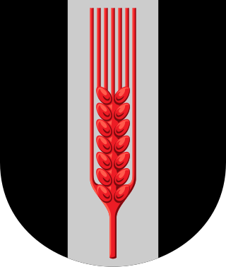
Isojoki is a municipality of Finland. It is part of the South Ostrobothnia region. The city of Pori is located 83 kilometres (52 mi) south of Isojoki. The population of Isojoki is 1,845 and the municipality covers an area of 642.38 km2 (248.02 sq mi) of which 5.05 km2 (1.95 sq mi) is inland water. The population density is 2.87/km2 (7.4/sq mi). The municipality is unilingually Finnish and neighbour municipalities are Honkajoki, Karijoki, Kauhajoki, Kristinestad, Merikarvia and Siikainen.
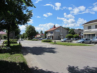
Joutsa is a municipality of Finland. It is located in the province of Western Finland and is part of the Central Finland region. Jyväskylä is located about 70 kilometres (43 mi) north of the Joutsa municipality.

Karjalohja is a former municipality of Finland.
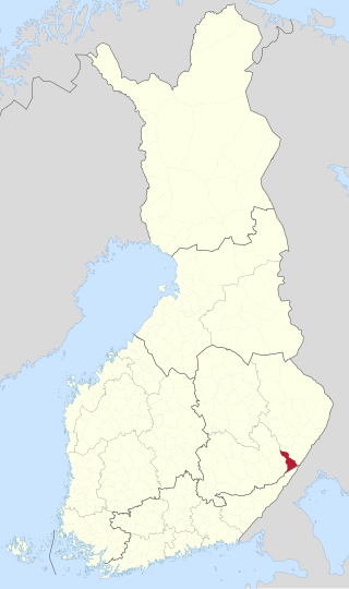
Kesälahti is a former municipality of Finland. It was consolidated with Kitee on 1 January 2013.

Kiikoinen is a former municipality of Finland.

Kiiminki was a municipality of Finland. Along with Haukipudas, Oulunsalo and Yli-Ii municipalities it was merged with the city of Oulu on 1 January 2013. Kiiminki municipality was part of the Oulu province in the Northern Ostrobothnia region. The municipality had a population of 13,320 and covered an area of 339.00 square kilometres (130.89 sq mi) of which 326.82 km2 (126.19 sq mi) is water. The population density is 1,093.6/km2 (2,832.4/sq mi).
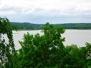
Lapinjärvi is a municipality of Finland. It is located in the Uusimaa region. The municipality has a population of 2,497 (28 February 2023) and covers an area of 339.31 square kilometres (131.01 sq mi) of which 9.44 km2 (3.64 sq mi) is water. The population density is 7.57 inhabitants per square kilometre (19.6/sq mi).

Laukaa is a municipality of Finland. It is located next to Jyväskylä and is part of the Central Finland region. The municipality has a population of 18,797 and covers an area of 825.59 square kilometres (318.76 sq mi) of which 177.09 km2 (68.37 sq mi) is water. The population density is 28.98 inhabitants per square kilometre (75.1/sq mi).
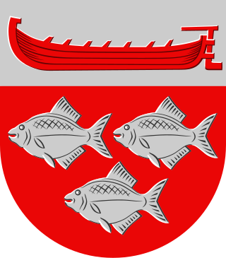
Ruovesi is a municipality of Finland.
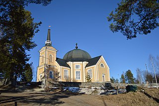
Rääkkylä is a municipality of Finland. It is located in the province of Eastern Finland and is part of the North Karelia region. The municipality has a population of 1,953, which make it the smallest municipality in North Karelia in terms of population. It covers an area of 699.68 square kilometres (270.15 sq mi) of which 272.01 km2 (105.02 sq mi) is water. The population density is 4.57 inhabitants per square kilometre (11.8/sq mi). The municipality is unilingually Finnish.

Toivakka is a municipality of Finland. It is located in the Central Finland region, near Jyväskylä. The municipality has a population of 2,392 (28 February 2023) and covers an area of 413.94 square kilometres (159.82 sq mi) of which 52.44 km2 (20.25 sq mi) is water. The population density is 6.62 inhabitants per square kilometre (17.1/sq mi). The municipality is unilingually Finnish.

Vihanti was a municipality of Finland. It was merged with the city of Raahe on 1 January 2013.

Vähäkyrö is a former municipality of Finland and an exclave of the city of Vaasa since January 1, 2013.

Yli-Ii was a municipality of Finland. It was located in the province of Oulu and was part of the Northern Ostrobothnia region. Alongside Haukipudas, Kiiminki and Oulunsalo municipalities it was merged with the city of Oulu on 1 January 2013. The municipality had a population of 2,179 and covered an area of 793.27 square kilometres (306.28 sq mi) of which 24.12 km2 (9.31 sq mi) is water. The population density was 2.8330/km2 (7.3374/sq mi).


