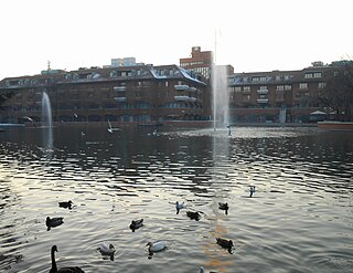
Segrate is a town and comune (municipality) located in the Metropolitan City of Milan in the Lombardy region of northern Italy.
Albairate is a comune (municipality) in the Metropolitan City of Milan in the Italian region Lombardy, located about 20 kilometres (12 mi) southwest of Milan.

Arluno is a comune (municipality) in the Metropolitan City of Milan in the Italian region Lombardy, located about 20 miles (32 km) west of Milan.
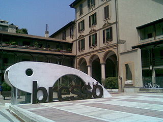
Bresso is a comune (municipality) in the Metropolitan City of Milan in the Italian region Lombardy, located about 8 kilometres (5 mi) north of Milan. At the 2001 census the municipality had a population of 26,255 inhabitants and a population density of 8,027.2 persons/km², making it the most densely populated comune in Italy outside the Province of Naples.
Carpiano is a comune (municipality) in the Metropolitan City of Milan in the Italian region Lombardy, located about 15 kilometres (9 mi) southeast of Milan.

Cerro al Lambro is a comune (municipality) in the Metropolitan City of Milan in the Italian region Lombardy, located about 20 kilometres (12 mi) southeast of Milan.

Cologno Monzese is a comune (municipality) in the Metropolitan City of Milan in the Italian region of Lombardy, located about 5 kilometres (3 mi) northeast of Milan. The population increased substantially after World War II, when many people from Southern Italy settled here.

Colturano is a comune (municipality) in the Metropolitan City of Milan in the Italian region Lombardy, located about 15 kilometres (9 mi) southeast of Milan.

Cornaredo is a comune (municipality) in the Metropolitan City of Milan in the Italian region Lombardy, located about 11 kilometres (7 mi) northwest of Milan.
Corsico is a comune (municipality) in the Province of Milan in the Italian region Lombardy, bordering Milan on the southwest.
Locate di Triulzi is a comune (municipality) in the Metropolitan City of Milan in the Italian region Lombardy, located about 14 kilometres (9 mi) southeast of Milan.
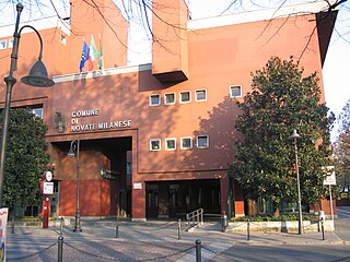
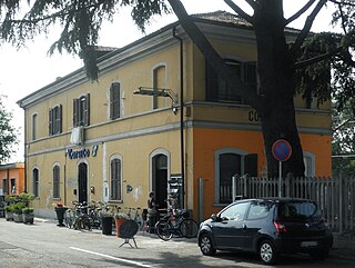
Novate Milanese is a comune (municipality) in the Metropolitan City of Milan in the Italian region Lombardy, located about 8 kilometres (5 mi) northwest of Milan.
Opera is a comune (municipality) in the Metropolitan City of Milan in the Italian region Lombardy, located about 10 kilometres (6 mi) southeast of Milan.

Peschiera Borromeo is a comune (municipality) in the Metropolitan City of Milan in the Italian region Lombardy, located about 12 kilometres (7 mi) southeast of Milan. It received the honorary title of city with a presidential decree on August 6, 1988.

San Donato Milanese is a comune (municipality) in the Metropolitan City of Milan in the Italian region Lombardy, located about 10 kilometres (6 mi) southeast of Milan. It is served by the San Donato underground station right on the borderline between the town and Milan and by the San Donato Milanese railway station, serving only trains for the Trenord S1 line "Saronno–Lodi" and vice versa.
San Zenone al Lambro is a comune (municipality) in the Metropolitan City of Milan in the Italian region Lombardy, located about 20 kilometres (12 mi) southeast of Milan.

Senago is a comune (municipality) in the Metropolitan City of Milan in the Italian region Lombardy, located about 13 kilometres (8 mi) north of Milan. As of 30 November 2017, it had a population of 21.519 and an area of 8.6 square kilometres (3.3 sq mi).
Trezzano sul Naviglio is a comune (municipality) in the Metropolitan City of Milan in the Italian region Lombardy, located about 9 km (6 mi) southwest of Milan.

Vaprio d'Adda is a comune (municipality) in the Metropolitan City of Milan in the Italian region Lombardy, about 30 kilometres (19 mi) northeast of Milan.

Vizzolo Predabissi is a comune (municipality) in the Metropolitan City of Milan in the Italian region Lombardy, located about 20 kilometres (12 mi) southeast of Milan.


