
Frederiksoord is a town in the Dutch province of Drenthe. It is a part of the municipality of Westerveld, and lies about 24 km northwest of Hoogeveen.
Beamud is a municipality located in the province of Cuenca, Castile-La Mancha, Spain. It has a population of 48 (2014).
Skutare is a village in the Maritsa Municipality, southern Bulgaria on the two banks of the Avramica River. As of 2006 it has 2 091 inhabitants. Skutare is situated 9 kilometres (5.6 mi) from the city of Plovdiv. A major foreign plant producing fabrics was built in the village and was one of the first large investment projects in the region.
The Lang Mountains, also known by their Chinese name Langshan, is a mountain range at the northwest corner of the Ordos Loop in Inner Mongolia, China. It is sometimes reckoned as part of the Yin Mountains.
Qujang is a village in the Tibet Autonomous Region of China.

Crăciunelu de Jos is a commune located in Alba County, Romania. It has a population of 4,392. It is composed of a single village, Crăciunelu de Jos. It also included four other villages until 2006, when they were split off to form Bucerdea Grânoasă Commune.

Braciejowice is a village in the administrative district of Gmina Łaziska, within Opole Lubelskie County, Lublin Voivodeship, in eastern Poland. It lies approximately 6 kilometres (4 mi) north-west of Łaziska, 11 km (7 mi) west of Opole Lubelskie, and 52 km (32 mi) west of the regional capital Lublin.
Szymony is a village in the administrative district of Gmina Kałuszyn, within Mińsk County, Masovian Voivodeship, in east-central Poland. It lies approximately 4 kilometres (2 mi) south-east of Kałuszyn, 19 km (12 mi) east of Mińsk Mazowiecki, and 57 km (35 mi) east of Warsaw.
Nowe Wymyśle is a village in the administrative district of Gmina Gąbin, within Płock County, Masovian Voivodeship, in east-central Poland. It lies approximately 8 kilometres (5 mi) east of Gąbin, 18 km (11 mi) south-east of Płock, and 83 km (52 mi) west of Warsaw.
Wycisłowo is a village in the administrative district of Gmina Borek Wielkopolski, within Gostyń County, Greater Poland Voivodeship, in west-central Poland. It lies approximately 11 kilometres (7 mi) south-west of Borek Wielkopolski, 13 km (8 mi) south-east of Gostyń, and 66 km (41 mi) south of the regional capital Poznań.
Szałstry is a village in the administrative district of Gmina Jonkowo, within Olsztyn County, Warmian-Masurian Voivodeship, in northern Poland. It lies approximately 9 kilometres (6 mi) west of Jonkowo and 22 km (14 mi) west of the regional capital Olsztyn.
Żabów is a village in the administrative district of Gmina Pyrzyce, within Pyrzyce County, West Pomeranian Voivodeship, in north-western Poland. It lies approximately 7 kilometres (4 mi) north-west of Pyrzyce and 31 km (19 mi) south-east of the regional capital Szczecin.
Vooreküla is a village in Põlva Parish, Põlva County in southeastern Estonia.

Great Hallingbury is a village and a civil parish in the Uttlesford District of Essex, England. The population of the civil parish at the 2011 census was 713. It is near the town of Bishop's Stortford, and the M11 motorway.

Jørlunde is a village with a population of 301 in North Zealand in Denmark.
Kalapathwela is a village in Sri Lanka. It is located within Central Province.
Katupathwela is a village in Sri Lanka. It is located within Central Province.
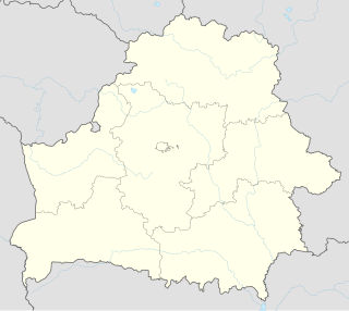
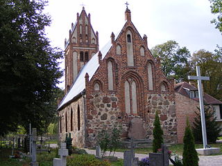
Nezhawka is a village in Minsk Region, Belarus. It is close to the city of Smalyavichy and the Minsk International Airport.

Hacıalanı is a very small village in Erdemli district of Mersin Province, Turkey. The village is situated in the peneplane area to the south of Toros Mountains at 36°50′N35°11′E. The distance to Erdemli is 43 kilometres (27 mi) and the distance to Mersin is 70 kilometres (43 mi). Although the settled population of the village is only 19. as of 2011, the number of houses in the village exceeds 400. Because the village is actually a yayla and the population sharply increases during the summers up to 3000. The artificial lake Karakız is to the east of the village. The touristic potential of the village with the Roman ruins as well as cedar forests is promising. But at the present tourism plays no important role in village economy. Main economic activity is farming. Main crops are tomato, cherry, peach, apple and beans. Animal breeding is another activity.


