Related Research Articles

Greenwood County is a county located in the southeast portion of the U.S. state of Kansas. Its county seat and most populous city is Eureka. As of the 2020 census, the county population was 6,016. The county was named for Alfred Greenwood, a U.S. congressman from Arkansas that advocated Kansas statehood.

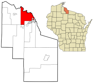
Kimball is a town in Iron County, Wisconsin, United States. The population was 540 at the 2000 census. The unincorporated communities of Kimball and Orva are located in the town.

The Little Blue River is a 245-mile-long (394 km) river in southern Nebraska and northern Kansas in the United States, that was used by Pony Express horseback riders. Ridgelines of this historic watershed defined the wagon train routes first used by Oregon Trail emigrants.
Anness is an unincorporated community in Sedgwick County, Kansas, United States, about 4.75 miles west of Viola, between W 111th St S and W 119th St S, and between S 327th St W and S 343rd St W.

Rosalia is an unincorporated community in Butler County, Kansas, United States. As of the 2020 census, the population of the community and nearby areas was 149. It is located approximately 12 miles (19 km) east of El Dorado.

Wonsevu is an unincorporated community in southwest Chase County, Kansas, United States. It is located at the intersection of Cedar Creek Rd and E Rd, which is 4.5 miles (7.2 km) north of the Chase-Butler county line and 3.75 miles (6.04 km) east of the Chase-Marion county line in the Flint Hills.
Oil Hill, Kansas is a ghost town in Butler County, Kansas, United States.
Hooser is an unincorporated community in Dexter Township, Cowley County, Kansas, United States. It is located at 37°08′18″N96°37′48″W.
Upola is a ghost town in Elk County, Kansas, United States.
Cave Springs is a ghost town in Elk County, Kansas, United States.
Fiat is a ghost town in Paw Paw Township, Elk County, Kansas, United States.

Thrall is a ghost town in Greenwood County, Kansas, United States.
Ivanpah is a ghost town in Greenwood County, Kansas, United States.
Utopia is a ghost town in Greenwood County, Kansas, United States.
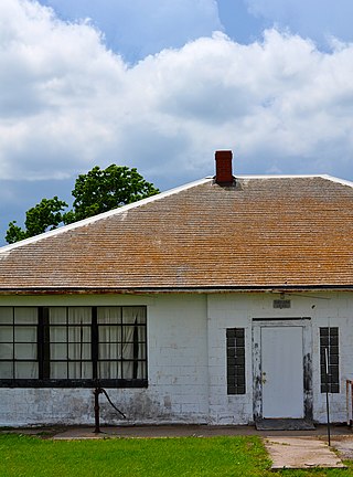
Amy is an unincorporated plains hamlet in Lane County, Kansas, United States, consisting presently of a large grain elevator and a house, and an abandoned school building.
Pontiac is an unincorporated community in Butler County, Kansas, United States.

Keighley is an unincorporated community in Butler County, Kansas, United States.

Midian is an unincorporated community in Butler County, Kansas, United States.

Ellinor is a ghost town in Toledo Township, Chase County, Kansas, United States. It was located southwest of Saffordville, where the BNSF Railway splits.
Pardee is a ghost town in Atchison County, Kansas, United States.
References
- ↑ "Wingate, Kansas", Geographic Names Information System , United States Geological Survey, United States Department of the Interior
- ↑ "Kansas Post Offices, 1828-1961, page 2". Kansas Historical Society. Retrieved August 2, 2014.
