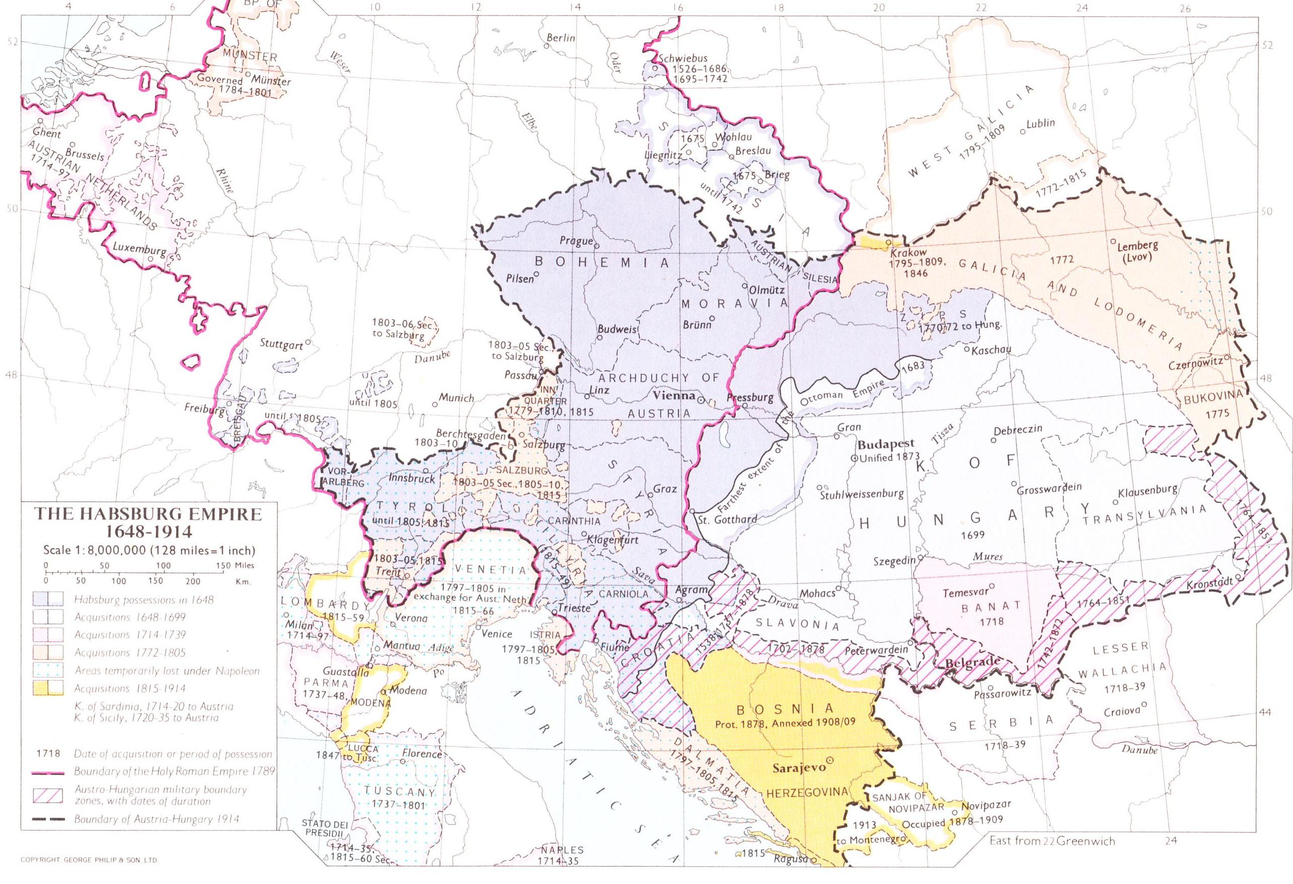
Banat of Temeswar, province of the Habsburg monarchy in 1718-1739Banat of Temeswar, province of the Habsburg monarchy in 1739-1751Banat of Temeswar in 1751–1778
The Banat of Temeswar or Banat of Temes was a Habsburg province that existed between 1718 and 1778. It was located in the present day region of Banat, which was named after this province. The province was abolished in 1778 and the following year it was incorporated into the Habsburg Kingdom of Hungary.[1][bettersourceneeded]
In the official documents of the time and also in all of native languages of the region, the name of the province appears in two basic forms, first derived from the name of Temeswar (Timișoara), second derived from the name of Temes region: in German - Temeschwarer Banat (Temescher Banat), Romanian - Banatul Timişoarei (Banatul timişan), Serbian - Темишварски Банат (Тамишки Банат), Temišvarski banat (Tamiški Banat), Hungarian - Temesvári Bánság (Temesi Bánság) and Latin - Banatus Temesvariensis (Banatus Temesiensis).[2]
Although after the Austro-Ottoman war (1683–1697) and before the treaty of Karlowitz (1699) most parts of Banat were temporarily controlled by the forces of Prince Eugene of Savoy; in consequence of the treaty, the Ottoman sovereignty was recognized over the region with the fort of Temeşvar. However, as a result of the Spanish Succession War and the Rákóczi's War for Independence, the Habsburgs were inclined to direct their attention elsewhere within their country, and there was no attempt on their part to gain any territories from the Ottomans until 1710.
From 1718 to 1739, Banat of Temeswar included not only the Banat region, but also parts of present-day eastern Serbia along the southern bank of the Danube river. Following the Treaty of Belgrade (1739), areas along the southern bank of Danube returned under Ottoman control. In 1751, the southern parts of Banat were excluded from the province and the Banatian Military Frontier was established in that area.
The Banat of Temeswar was abolished on 6 June 1778, and on 23 April 1779, it was incorporated into the Habsburg Kingdom of Hungary, while its former territory was divided into three counties: Torontál, Temes and Krassó. The southern part of the Banat region, which was part of the Banat of Temeswar until 1751, remained part of the Military Frontier (Banat Krajina) until 1873.
In 1849 following the Revolutions of 1848/1849 the Banat of Temeswar was resurrected as part of the new Voivodeship of Serbia and Banat of Temeswar crown land, which combined the former lands of the Banat of Temeswar with most of those from the self-proclaimed Serbian Vojvodina (excluding those parts of both within the military frontier). The former Banat counties of Torontál, Temes and Krassó were transformed into the Kreise of Groß Bečkerek, Temesvár and Lugos respectively. It was once again abolished in 1860; the counties were restored and re-merged into Hungary.
Population
The province was bound to repopulate after the Habsburg conquest because it had a low population density on the grounds that the territory sustained a lot of adversity from the previous wars. The population density was among the lowest in Europe; some researchers suggest that it was around 1 person / square kilometres. [citation needed] According to the first census conducted by the Habsburg military authorities, the population of Banat numbered about 20,000 inhabitants, mostly Serbs. The former Muslim population of Banat had left the area immediately before and during the Habsburg conquest. The low population density resulted in the territory being repopulated by German families coming from Austrian and southern German lands, Romanians coming from Wallachia and Transylvania, by Slovaks from the north,[6] and by Serb refugees coming from the Ottoman Empire, while some Serbs arrived in the area from other parts of the Habsburg monarchy. Colonization of various ethnic groups in the area lasted until the early 19th century. The government organized regimental districts which mostly had Serb population with special privileges in exchange for defending the borders. The area also lost its Hungarian population in the 16th century,[7] but Hungarians were not allowed to return[6] until the 1740s, because the Habsburgs regarded them as "politically unreliable".[6] Thus, Hungarians were almost totally absent from Banat in the first half of the 18th century. After the permission was given, Hungarian settlers arrived from different parts of the kingdom (mainly from Transdanubia, Csongrád county and the Jász and Kun districts).
According to data from 1774, the population of the Banat of Temeswar was composed of:[8][pageneeded]
The first official census took part during the rule of Joseph II, from the late 18th century. [citation needed] This shows Romanian majority in the east, Serbian in the west, and numerous German population in the whole area.[citation needed]
Governors
Governors of Banat of Temeswar did not have the title of "ban". They were military governors and chefs of provincial administration (in German: Militärpräsidenten der Landesadministration des Temescher Banats).[9]
↑Dov Ronen, Anton Pelinka: The challenge of ethnic conflict, democracy and self-determination in Central Europe, Frank Cass & Co. Ltd., Great Britain, 1998, page 18
Marin, Irina. Contested Frontiers in the Balkans: Ottoman, Habsburg, and Communist Rivalries in Eastern Europe (I.B. Tauris, distributed by Palgrave Macmillan; 2013) 228 pages; focuses on the Banat of Temesvar
Miodrag Milin, Vekovima zajedno (Iz istorije srpsko-rumunskih odnosa), Temišvar, 1995.
Forţiu, Sorin. Denumirea Banatului în epoca modernă (sec. XVIII - XX): Banatus Timisvariensis vel Banatus Temesiensis?, in: Descoperiţi Banatul - Timişoara, Biblioteca Banaterra - Cartea 1, Editura Waldpress, Timişoara, 2009, 192 pg., ISBN 978-973 -7878-44-1; p.104-144.
This page is based on this Wikipedia article Text is available under the CC BY-SA 4.0 license; additional terms may apply. Images, videos and audio are available under their respective licenses.


