| ||||
|---|---|---|---|---|
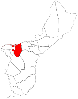
| Route information | ||||
| Maintained by Guam Department of Public Works | ||||
| Major junctions | ||||
| East end | ||||
| West end | Glass Breakwater access road | |||
| Highway system | ||||
| ||||
Guam Highway 11 (GH-11) is one of the primary automobile highways in the United States territory of Guam.

The United States of America (USA), commonly known as the United States or America, is a country composed of 50 states, a federal district, five major self-governing territories, and various possessions. At 3.8 million square miles, the United States is the world's third or fourth largest country by total area and is slightly smaller than the entire continent of Europe's 3.9 million square miles. With a population of over 327 million people, the U.S. is the third most populous country. The capital is Washington, D.C., and the largest city by population is New York City. Forty-eight states and the capital's federal district are contiguous in North America between Canada and Mexico. The State of Alaska is in the northwest corner of North America, bordered by Canada to the east and across the Bering Strait from Russia to the west. The State of Hawaii is an archipelago in the mid-Pacific Ocean. The U.S. territories are scattered about the Pacific Ocean and the Caribbean Sea, stretching across nine official time zones. The extremely diverse geography, climate, and wildlife of the United States make it one of the world's 17 megadiverse countries.

Guam is an unincorporated and organized territory of the United States in Micronesia in the western Pacific Ocean. It is the easternmost point and territory of the United States, along with the Northern Mariana Islands. The capital city of Guam is Hagåtña and the most populous city is Dededo. The inhabitants of Guam are called Guamanians, and they are American citizens by birth. Indigenous Guamanians are the Chamorros, who are related to other Austronesian natives of Eastern Indonesia and Philippines and Taiwan. Guam has been a member of the Pacific Community since 1983.