
U.S. Route 201 is part of the nationwide system of United States Numbered Highways. It runs for 157.46 miles (253.41 km) entirely within the state of Maine and is a spur route of U.S. Route 1. Its southern terminus is in Brunswick at US 1 and Maine State Route 24 Business. Its northern terminus is at the Canada–US border near Jackman, where it connects to Quebec Route 173.

In the U.S. state of Maine, U.S. Route 2 (US 2) is a principal east–west route through the central portion of the state, extending from the New Hampshire border in Gilead to the town of Houlton near the Canadian border.

State Route 100 (SR 100) is a state highway in the U.S. state of Maine, running from Portland to Bangor.

State Route 15 (SR 15) is a numbered state highway in Maine, United States. SR 15 runs over 180 miles (290 km) from Stonington in the south to Jackman in the north.

State Route 27 is part of Maine's system of numbered state highways, running 154.1 miles (248.0 km) from the village of Newagen in Southport at SR 238 to the Coburn Gore-Woburn Border Crossing, where it continues into Quebec as Route 161.

State Route 137 (SR 137) is a route that runs for 56.25 miles (90.53 km) west to east that begins at the intersection of U.S. Route 2 (US 2) in Mercer and covers a large expanse of land, ending in the city of Belfast at an interchange with US 1 and SR 3.

State Route 228 (SR 228) is a state highway located in Aroostook County in northeastern Maine. It begins at State Route 164 in Washburn and runs north, then east, to State Route 161B in Caribou. SR 228 is signed as an east–west highway but occupies an alignment resembling an inverted letter V. It provides local access to Perham and Woodland which are bypassed by SR 164 between Washburn and Caribou. It is the only highway in Maine to have a designated truck route.
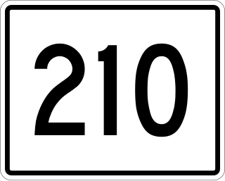
State Route 210 (SR 210) was a state highway entirely in Presque Isle, Maine. It ran in a 6.1-mile (9.8 km) loop from the intersection of U.S. Route 1 (US 1) and SR 164 along the north and west side of the Aroostook River before turning to the west and ending at US 1. The route was originally designated in 1925, and ran between Fryeburg and North Waterford. During the renumbering, it became part of SR 5. Between 1937 and 1938, the number was applied to the loop built as a service road for the Northern Maine Sanitarium. Even after the closure of the sanitarium in the 1970s, the road along which the state route ran remains open and in use.

State Route 145 (SR 145) is part of Maine's system of numbered state highways. It runs ten miles (16 km) from an intersection with SR 4 in Strong to an intersection with SR 142 near Kingfield. The route is also known as Main Street in Strong.

State Route 112 (SR 112) is part of Maine's system of numbered state highways, running from SR 9 in Saco to SR 114 in Gorham. The 26-mile-long (42 km) route runs in a C-shape and is signed as north–south.

State Route 121 (SR 121) is a 36-mile-long (58 km) state highway in southern Maine. It begins at an intersection with U.S. Route 302 (US 302) and SR 35 in Raymond and ends in Auburn. It is signed as a north-south highway, which accurately reflects its alignment from Raymond to Oxford, but from there it runs almost due east to its terminus in Auburn.

State Route 104 (SR 104) is a 34.9-mile-long (56.2 km) state highway located in Kennebec and Somerset counties in central Maine. Its southern terminus is at SR 8, SR 11 and SR 27 in Augusta. Its northern terminus is at U.S. Route 2 (US 2), US 201 and US 201A in Skowhegan.

State Route 139 (SR 139) is a 59-mile-long (95 km) state highway traveling from U.S. Route 2 (US 2) and US 201 in Norridgewock at its western terminus to US 1A in Winterport at its eastern terminus.
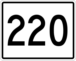
State Route 220 (SR 220) is a state highway located in central coastal Maine. It begins at State Route 97 in Friendship on the Atlantic coast and runs for 66.50 miles (107.02 km) north to Palmyra, where it ends at State Route 11 and State Route 100. SR 220 runs through a series of small towns, with connecting routes leading to larger population centers such as Augusta, Waterville, and Bangor to the east and west.
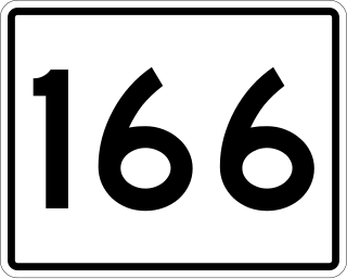
State Route 166 (SR 166) is part of Maine's system of numbered state highways, located in the southern coastal part of the state adjacent to the mouth of the Penobscot River. It runs just under fifteen miles (24 km) between the town of Castine and Orland at U.S. Route 1 (US 1) and SR 3/SR 15.

State Route 144 (SR 144) is part of Maine's system of numbered state highways, located in Lincoln County along the state's southern coast. The southern terminus is at West Shore Road in Westport Island and the northern terminus is at U.S. Route 1 (US 1) in Wiscasset.
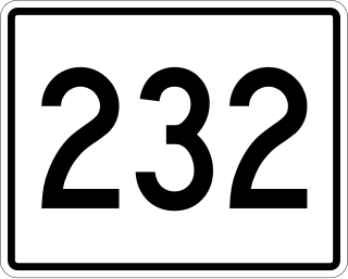
State Route 232 is a 9.41-mile-long (15.14 km) state highway located in Oxford County in western Maine. It begins at SR 26 in Woodstock and ends at U.S. Route 2 in Rumford. The highway functions as an eastern bypass of SR 26 and US 2 in Bethel, providing a more direct north-south connection to and from points east.
State Route 155 (SR 155) is a 34.3-mile-long (55.2 km) state highway in the U.S. state of Maine. It runs in a southwesterly-northeasterly direction mostly in Penobscot County. It connects the town of Bradford at SR 11 and SR 221 with Lincoln at U.S. Route 2 (US 2) and SR 6.
State Route 156 (SR 156) is a 23-mile-long (37 km) state highway in the U.S. state of Maine. It is located entirely in Franklin County and runs between Weld and the Chesterville village of Farmington Falls.
State Route 175 (SR 175) is a state highway entirely in Hancock County, Maine that travels for 37.8 miles (60.8 km). The shape of the route is an unusual U-shape and travels along the peninsula surrounded by Blue Hill Bay, Eggemoggin Reach, and Bagaduce River. The route is signed as north-south but has two northern termini: at State Routes 15, 172, and 176 in Blue Hill, and at SR 166 in Penobscot. The transition point of the directional signage occurs about 2+1⁄2 miles (4.0 km) from the Blue Hill terminus.

