
Interstate 99 (I-99) is an interstate highway in the United States with two segments: one located in central Pennsylvania and the other in southern New York. The southern terminus of the route is near exit 146 of the Pennsylvania Turnpike (I-70/I-76) north of Bedford, where the road continues south as U.S. Route 220 (US 220). The northern terminus of the Pennsylvania segment is at an at-grade intersection with Musser Lane just before reaching I-80 near Bellefonte. The New York segment follows US 15 from the Pennsylvania–New York border to an interchange with I-86 in Corning. Within Pennsylvania, I-99 passes through Altoona and State College—the latter home to the Pennsylvania State University—and is entirely concurrent with US 220. Long-term plans call for the two segments of I-99 to be connected using portions of I-80, US 220, and US 15 through Pennsylvania.

Mercer County is a county in the Commonwealth of Pennsylvania. As of the 2020 census, the population was 110,652. Its county seat is Mercer, and its largest city is Hermitage. The county is part of the Northwest Pennsylvania region of the state.
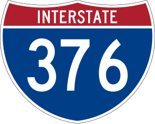
Interstate 376 (I-376) is a major auxiliary route of the Interstate Highway System in the US state of Pennsylvania, located within the Allegheny Plateau. It runs from I-80 near Sharon south and east to a junction with the Pennsylvania Turnpike in Monroeville, after having crossed the Pennsylvania Turnpike at an interchange in Big Beaver. The route serves Pittsburgh and its surrounding areas and is the main access road to Pittsburgh International Airport (PIT). Portions of the route are known as the Beaver Valley Expressway, Southern Expressway, and Airport Parkway. Within Allegheny County, the route runs along the majority of the Penn-Lincoln Parkway, known locally as Parkway West and Parkway East. It is currently the ninth-longest auxiliary Interstate route in the system and second only to I-476 within Pennsylvania.

U.S. Route 322 is a 494-mile-long (795.0 km), east–west United States Highway, traversing Ohio, Pennsylvania, and New Jersey. The road is a spur of US 22 and one of the original highways from 1926. A portion of it at one time was concurrent with the Lakes-to-Sea Highway.
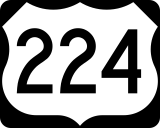
U.S. Route 224 (US 224) is a spur of US 24 that runs through the states of Indiana, Ohio and Pennsylvania. It currently runs for 289 miles (465 km) from US 24 in Huntington, Indiana, east to US 422 Business and Pennsylvania Route 18 (PA 18) in New Castle, Pennsylvania. It goes through the cities of Canfield, Ohio, Akron, Ohio, and Findlay, Ohio. In Northeast Ohio, US 224 is located a short distance north of the Western Reserve's southern boundary.

U.S. Route 30 (US 30) is a U.S. Highway that runs east–west across the southern part of Pennsylvania, passing through Pittsburgh and Philadelphia on its way from the West Virginia state line east to the Benjamin Franklin Bridge over the Delaware River into New Jersey.

Pennsylvania Route 60 (PA 60) is a state highway located in the western suburbs of Pittsburgh, Pennsylvania. Although the route follows a mostly east–west alignment, it is signed as a north–south highway. The southern terminus of the route is at a partial interchange with U.S. Route 19 (US 19) and PA 51 in Pittsburgh's West End while the northern terminus is at an interchange with Interstate 376 (I-376), US 22, and US 30 in Robinson Township. The portion of PA 60 outside of Pittsburgh is known as the Steubenville Pike; within the city, PA 60 follows several different streets.
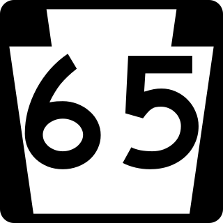
Pennsylvania Route 65 is a major 51-mile-long (82 km) state highway located in western Pennsylvania, United States. The route, traveling north–south from the Interstate 279/U.S. Route 19 Truck concurrency in Pittsburgh north to the PA 108/PA 168 concurrency in New Castle, connects downtown Pittsburgh to the northwestern portion of the Pittsburgh Metropolitan Area. PA 65 is similar in its purpose to PA 18 and PA 51, both of which run parallel to PA 65 at one point or another; however, the three routes pass through different cities for most of their respective alignments.

Pennsylvania Route 18 is a major north–south highway in Western Pennsylvania whose southern terminus is at West Virginia Route 69 at the state line in Greene County near the village of Garrison, while the northern terminus is at PA 5 in Lake City. At a length of 205 miles (330 km), PA 18 is the only state route in Pennsylvania — north–south or east–west — to traverse the entire state. It also has the distinction of being the longest state route in Pennsylvania.
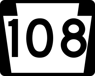
Pennsylvania Route 108 is a highway in Western Pennsylvania that runs for 32 miles (51 km) from the Ohio state line near SNPJ to PA 8 in Adams Corner. PA 108 intersects Interstate 376 (I-376) near New Castle and U.S. Route 19 (US 19) near Harlansburg. PA 108 also has an interchange with Interstate 79 (I-79) at exit 105.
U.S. Route 322 is a spur of US 22, running from Cleveland, Ohio, east to Atlantic City, New Jersey. In the U.S. state of Pennsylvania, the route runs from the Ohio state line in West Shenango Township southeast to the Commodore Barry Bridge over the Delaware River in Chester, at which point the route crosses into New Jersey, meeting the New Jersey Turnpike at exit 2. The route passes near or through several cities, including Meadville, DuBois, State College, and Harrisburg. US 322 in Pennsylvania is named the 28th Division Highway in honor of the 28th Infantry Division.

Pennsylvania Route 258 is a 27-mile-long (43 km) state highway located in Butler and Mercer counties in Pennsylvania. The southern terminus is at PA 108/PA 173 in Slippery Rock. The northern terminus is at PA 18 in Clark.
Pennsylvania Route 318 is a 15.9-mile-long (25.6 km) state highway located in Mercer County, Pennsylvania. The western terminus is at the Ohio state line in Shenango Township near West Middlesex where the road continues as Ohio State Route 304. The eastern terminus is at PA 158 in Mercer.

Pennsylvania Route 418 is a 2.75-mile-long (4.43 km) state highway located in Mercer County, Pennsylvania. The southern terminus is at PA 760/PA 718 in Wheatland. The northern terminus is at US 62 in Hermitage.

Pennsylvania Route 518 is an 8.5-mile-long (13.7 km) state highway located in Mercer County, Pennsylvania. The southern terminus is at PA 18 in Hermitage. The northern terminus is at PA 18 in Hermitage.
Pennsylvania Route 551 is a 34-mile-long (55 km) state highway located in Beaver, Lawrence, and Mercer counties in Pennsylvania. The southern terminus is at PA 18 in Beaver Falls. The northern terminus is at PA 18 near West Middlesex.

Pennsylvania Route 718 is an 11.1-mile-long (17.9 km) state highway located in Mercer County, Pennsylvania. The southern terminus is at PA 318 in Shenango Township. The northern terminus is the Ohio state line in South Pymatuning Township.
Pennsylvania Route 846 is a 12.41-mile-long (19.97 km) state highway located in Mercer County, Pennsylvania. The southern terminus is at PA 718 in Hermitage. The northern terminus is at PA 18 in Greenville.

U.S. Route 62 is a signed north-south U.S. Highway that is located in the Commonwealth of Pennsylvania in the United States. It stretches diagonally southwest-northeast through the industrial northwestern part of the commonwealth.

Interstate 376 Business, commonly referred to as Business Loop 376 or simply Business 376, is a 6.88-mile-long (11.07 km) business loop of I-376 that is located in Allegheny County, Pennsylvania in the United States. It is situated almost entirely within Moon Township and serves both the township and the cargo and services areas of Pittsburgh International Airport.


