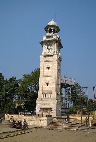
Bahraich is a city and a municipal board in Bahraich district in the state of Uttar Pradesh, India. Located on the Saryu River, a tributary of the Ghaghara river, Bahraich is 125 kilometres north-east of Lucknow, the state capital. The districts of Barabanki, Gonda, Balrampur, Lakhimpur Kheri, Shravasti and Sitapur share boundaries with Bahraich. A factor which makes this town important is the international border shared with Nepal.

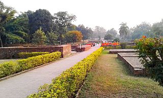
Chitrakoot is a pilgrimage centre and a nagar panchayat in the Satna district in the state of Madhya Pradesh, India. Connected to the Indian epic Ramayana, it is a place of religious, cultural, historical and archaeological importance, situated in the Baghelkhand region. It borders the Chitrakoot district in Uttar Pradesh, whose headquarters Chitrakoot Dham is located nearby. The city lies in the historical Chitrakoot region, which is divided between the present-day Indian states of Uttar Pradesh and Madhya Pradesh. It is known for a number of temples and sites mentioned in Hindu scriptures.

Prayagraj district, also known as Allahabad district, is the most populous district in the Indian state of Uttar Pradesh. Prayagraj city is the district headquarters of this district. The District is divided into blocks within tehsils. As of 2011, there are 20 blocks in eight tehsils. The Prayagraj division includes the districts of Pratapgarh, Fatehpur, Kaushambi and Prayagraj, with some western parts that had previously part of Allahabad District becoming part of the new Kaushambi District. The administrative divisions are Phulpur, Koraon, Meja, Sadar, Soraon, Handia, Bara, Shringverpur and Karchana.

Shravasti district is one of the districts of the Uttar Pradesh state of India, with Bhinga town as its district headquarters. Shravasti district is a part of Devipatan Division. According to Government of India, it is among the 121 minority concentrated districts in India. It is the fourth most backward district in India, according to the 2018 Niti Aayog ranking. This district is the most poverty stricken district in the country.
Bansi is a city and municipal board situated on a bank of the Rapti River in the Siddharthnagar district in the state of Uttar Pradesh, India. It is one of the five vidhan sabha constituencies in Siddharthnagar district and one of the most important cities of the district. The Indo Nepal border is near to the town around 40 km. Lumbini of Nepal is the best place to visit from Bansi by crossing the open border between Nepal and India. The Magh Mela is a fair which is held for a month in Bansi from 25 January to 25 February, attracting visitors from all the surrounding areas.
Biswan is a town and a municipal board in Sitapur district in the state of Uttar Pradesh, India.
Dhampur is a city and a municipal board in Bijnor district in the state of Uttar Pradesh, India. It is located at 29.51°N 78.50°E, and lies in Northern India.
Pharenda, or Anandnagar, is a city in the Maharajganj district of the province of Uttar Pradesh in northern India. It is located approximately 44 kilometres north of Gorakhpur near the border with Nepal. District of Pharenda is Maharajganj. This is situated on the Buddhist Circuit which is built from Sarnath to Lumbini. It lies on NH-24 and near NH 29. It is about 45 km from Gorakhpur, 40 km from Siddharthnagar, 30 km from Maharajganj and 55 km from Sonauli Indo-Nepal border. This place is named after Seth Anandram Jaypuriya. There is closed sugar Mill which was started in about 1935 and closed in 1995. Near Anand Nagar there is a temple is Durga devi mandir, popularly known as Lehara Devi mandir.
Iglas is a town and tehsil in Aligarh district in the Indian state of Uttar Pradesh.
Ikauna is a town and nagar panchayat in the Shrawasti district in the Indian state of Uttar Pradesh. It is closely attached to the Shrawasti. There are five blocks in the Shrawasti district: Ikauna, Jamunha, Sirsiya, Gilaula, and Bhinga.

Jais, also spelled Jayas, is a city with a municipal board in Amethi district in the Indian state of Uttar Pradesh.
Khargupur is a town and a nagar panchayat in Gonda district in the Indian state of Uttar Pradesh.

Manikpur, is a town of the Indian state of Uttar Pradesh in Chitrakoot district, it has population around 15,435 as per 2011-2020 census, which makes it a nagar panchayat, and Tahseel in Manikpur. It is located at 25°55′59″N 81°58′59″E25.933°N 81.983°E and surrounded by large Vindhya mountain range.
Nanpara is a town & municipal board in Bahraich district in the Indian state of Uttar Pradesh. It is a region along the Nepal Border and includes tracts of dense forests. It is a city surrounded by many villages.
Rudauli is a town, tehsil and a municipal board in Ayodhya district in the Indian state of Uttar Pradesh. Rudauli is 50 km west of the district headquarters Ayodhya.
Sadabad is a town and a nagar panchayat in Hathras district in the Indian state of Uttar Pradesh.

Ramnagar is a town in Barabanki district in the state of Uttar Pradesh, India. It is a town, tehsil and a nagar panchayat in Barabanki District in the Indian state of Uttar Pradesh.

Dewa Sharif or Dewa is a town and a nagar panchayat in Barabanki district in the state of Uttar Pradesh, India. It is famous for the shrine of Haji Waris Ali Shah. This town is also known by the name of Dewa Sharif in respect for the shrine. It is about 26 km north-east of the state capital Lucknow.

Kunda is a town and a Tehsil in Pratapgarh district in the Indian state of Uttar Pradesh.
Bhinga is a constituency of the Uttar Pradesh Legislative Assembly covering the city of Bhinga in the Shravasti district of Uttar Pradesh, India.

