
San Cristóbal is a province in the southern region of Dominican Republic, located west of the capital Santo Domingo. With approximately 642,000 inhabitants, it is the fourth most populated province in the country, only behind Santo Domingo, Santiago and the National District. It borders the provinces Monseñor Nouel (north), Monte Plata (northeast), Santo Domingo (east), Peravia (west) and San José de Ocoa (northwest). The Caribbean Sea borders the province to the south. The provincial capital is the city of San Cristóbal.

San Cristóbal is a municipality (municipio) and the capital of the San Cristóbal province in the Dominican Republic. Within the municipality there is one municipal district : Hato Damas.
Baoruco, alternatively spelt Bahoruco, is a province of the Dominican Republic located in the southwest of the country, part of the Enriquillo Region, along with the provinces of Barahona, Independencia and Pedernales. Before 1952 it included what is now Independencia Province.

Dajabón is a northwesternmost province which currently comprising one of the 32 provinces of the Dominican Republic. It is divided into 5 municipalities and its capital city with the same name. It is bordered by the provinces of Monte Cristi to the north, Santiago Rodríguez to the south, Elías Piña to the south and the Nord-Est department of Haiti to the west.

Duarte is a northeastern province which comprises one of the 32 provinces of the Dominican Republic. It is divided into 7 municipalities and its capital city is San Francisco de Macorís. It is bordered by the provinces of María Trinidad Sánchez and Samaná to the east, Monte Plata and Sánchez Ramírez to the south, La Vega and Hermanas Mirabal to the west and Espaillat to the north. It is named after Juan Pablo Duarte, the founder of the Dominican Republic.

Espaillat is one of the 32 provinces of the Dominican Republic. It is divided into 5 municipalities and its capital city is Moca. Located in north-central Dominican Republic (Cibao), it is bordered by the provinces of La Vega to the south, Santiago and Puerto Plata to the west, and María Trinidad Sánchez to the north-east. The province has a coastline to the north with the Atlantic Ocean. It is named for Ulises Francisco Espaillat (1823–1878), the 19th-century author who was briefly President of the Republic in 1876.
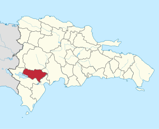
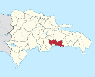
Peravia is a province in the southern region of the Dominican Republic. Before January 1, 2002 it was included in what is the new San José de Ocoa province, and published statistics and maps generally relate it to the old, larger, Peravia.
Santo Domingo is a province of the Dominican Republic. It was split from the Distrito Nacional on October 16, 2001.

Santa Cruz del Seibo or El Seibo, is a city and municipality in the El Seibo Province of the Dominican Republic, located in the eastern part of the country.

Azua de Compostela, also known simply as Azua, is a municipality (municipio) and capital of Azua Province in the southern region of Dominican Republic. Founded in 1504, Azua is one of the oldest European settlements in the Americas. The town is located 100 kilometres west of the national capital, Santo Domingo.

Monción is one of the 3 municipalities of the province in Santiago Rodriguez, Dominican Republic.
Villa Altagracia is a municipality (municipio) of the San Cristóbal province in the Dominican Republic. Within the municipality there are three municipal districts : La Cuchilla, Medina and San José del Puerto.
San José de los Llanos is a municipality (municipio) of the San Pedro de Macorís province in the Dominican Republic. Within the municipality there are two municipal districts : Gautier and El Puerto.
Ramon Santana is a municipality (municipio) of the San Pedro de Macorís province in the Dominican Republic.
Navarrete is a municipality in northwestern Dominican Republic, created in 1961. It lies approximately 25 kilometres (16 mi) from Santiago de los Caballeros, Dominican Republic's second largest city. The administrative centre is in the town of Villa Bisonó.
El Cercado is a town in the San Juan province of the Dominican Republic.
Vallejuelo is a town in the San Juan province of the Dominican Republic.
Villa Gonzalez is a municipality (municipio) of the Santiago province in the Dominican Republic. Within the municipality there are two municipal districts : El Limón and Palmar Arriba.
El Llano, Dominican Republic is a Dominican municipality in the Elías Piña province.

Sánchez, Dominican Republic is a Dominican municipality in the Samaná province, on the south coast of the peninsula of Samaná.
