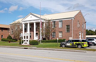
PamlicoCounty is a county located in the U.S. state of North Carolina. As of the 2020 census, the population was 12,276. Its county seat is Bayboro.

Davie County is a county located in the U.S. state of North Carolina. As of the 2020 census, the population was 42,712. Its county seat is Mocksville.

Pulaski County is a county in the U.S. state of Arkansas. With a population of 399,125 as of the 2020 United States Census, it is the most populous county in Arkansas. The county is included in the Little Rock–North Little Rock–Conway metropolitan area. Its county seat is Little Rock, which is also Arkansas's capital and largest city.

Carroll County is a county located in the U.S. state of Arkansas. As of the 2020 census, the population was 28,260. The county has two county seats, Berryville and Eureka Springs. Carroll County is Arkansas's 26th county, formed on November 1, 1833, and named after Charles Carroll, the last surviving signer of the United States Declaration of Independence.
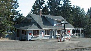
Lutsen Township is one of the three townships of Cook County, Minnesota, United States. The population was 537 at the 2020 census. The unincorporated community of Lutsen is located within the township. The township was named after the town of Lützen, which is known for the Battle of Lützen (1632).
Beaver Bay Township is a township in Lake County, Minnesota, United States. The population was 517 at the 2020 census.

Jefferson is a town in and the county seat of Ashe County, North Carolina, United States. The population was 1,611 at the 2010 census.

Adams Township is one of the twelve townships of Champaign County, Ohio, United States. As of the 2010 census the population was 1,110.

Chatham Township is one of the seventeen townships of Medina County, Ohio, United States. The 2020 census found 2,213 people in the township.
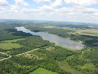
Johnson Township is one of the twelve townships of Champaign County, Ohio, United States. The 2020 United States census reported 3,077 people living in the township, down from 3,506 in 2010.

Paint Township is one of the fourteen townships of Holmes County, Ohio, United States. As of the 2010 census the population was 4,134, up from 3,547 in 2000.

Harrison Township is one of the 25 townships of Licking County, Ohio, United States. As of the 2010 census the population was 7,561, up from 6,494 at the 2000 census. 7,036 of the population in 2010 lived in the unincorporated portions of the township.
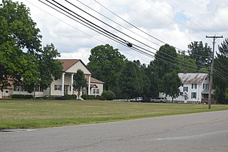
Madison Township is one of the 25 townships of Licking County, Ohio, United States. As of the 2010 census, the population was 3,211, of whom 3,165 lived in the unincorporated part of the township.

Bolivar Township is one of eleven townships in Benton County, Indiana. As of the 2020 census, its population was 1,179 and it contained 514 housing units. Bolivar Township was organized in March 1860 and named for South American liberator Simón Bolivar.

Center Township is one of eleven townships in Benton County, Indiana. As of the 2020 census, its population was 2,715 and it contained 1,212 housing units. It was organized in June 1875 and was originally known as Prairie Township.

Hickory Grove Township is one of eleven townships in Benton County, Indiana. As of the 2020 census, its population was 398 and it contained 168 housing units. It was organized in March 1876 and named for a grove of hickory trees that grew within its borders in the 19th century.
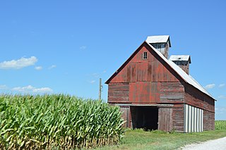
Pine Township is one of eleven townships in Benton County, Indiana. As of the 2020 census, its population was 324 and it contained 108 housing units. Pine Township was one of the original three created by county commissioners in July 1840, and is named for Big Pine Creek which flows south through the township.

Union Township is one of eleven townships in Benton County, Indiana. As of the 2020 census, its population was 283 and it contained 92 housing units. The township was organized in June 1864 and named by John W. Nutt "because of the loyalty shown in furnishing soldiers for the Union army."

York Township is one of eleven townships in Benton County, Indiana. As of the 2020 census, its population was 155 and it contained 82 housing units. It was organized in June 1860 and named for the state of New York, the former home of local pioneer John Fleming.

Hudson Township is one of twenty-four townships in Bates County, Missouri, and is part of the Kansas City metropolitan area within the USA. As of the 2000 census, its population was 229. As of the 2010 census, the town's population was 252. Its population was estimated to be 226 in 2018.


