
Olmsted County is a county in the U.S. state of Minnesota. As of the 2020 census, the population is 162,847. Its county seat and most populous city is Rochester.

Houston County is a county in the U.S. state of Minnesota. At the 2020 census, the population was 18,843. Its county seat is Caledonia.

Fillmore County is a county in the U.S. state of Minnesota. As of the 2020 census, the population was 21,228. Its county seat is Preston. Fillmore County is included in the Rochester metropolitan area.

Harmony is a city in Fillmore County, Minnesota, United States. The population was 1,020 at the 2010 census. The town bills itself as the "Biggest Little Town in Southern Minnesota" and features the largest Amish community in the state.

Preston is a city and the county seat of Fillmore County, Minnesota, United States. The population was 1,325 at the 2010 census. The Root River runs through it, and Mystery Cave State Park is nearby. It bills itself as "America's Trout Capital," with a 20-foot trout placed along Minnesota State Highway 16.
Field Township is a township in Saint Louis County, Minnesota, United States. The population was 391 at the 2010 census.
Linden Grove Township is a township in Saint Louis County, Minnesota, United States. The population was 145 at the 2010 census.
Willow Valley Township is a township in Saint Louis County, Minnesota, United States. The population was 126 at the 2010 census.
Rollins is an unincorporated community in Ault Township, Saint Louis County, Minnesota, United States.
Forestville is a ghost town in section 13 of Forestville Township in Fillmore County, Minnesota, United States. The nearest communities are Wykoff, to the northwest, and Preston, to the northeast.
Greenleafton is an unincorporated community in York Township, Fillmore County, Minnesota, United States.
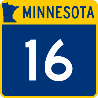
Minnesota State Highway 16 is an 87.671-mile-long (141.093 km) two-lane highway in southeast Minnesota, which runs from its interchange with Interstate Highway 90 in Dexter and continues east to its eastern terminus at the Wisconsin state line concurrent with U.S. Highways 14 and 61 outside La Crescent just west of La Crosse, Wisconsin.
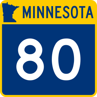
Minnesota State Highway 80 (MN 80) is a two-lane 8.431-mile-long (13.568 km) highway in southeast Minnesota that runs from its intersection with State Highway 16 near Wykoff and continues east to its eastern terminus at its intersection with U.S. Highway 52 at Fountain.
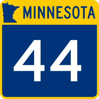
Minnesota State Highway 44 is a highway in southeast Minnesota, which runs from its intersection with U.S. 52 in Canton Township, near Prosper, and continues east to its eastern terminus at its intersection with State Highway 16 in Hokah, near La Crescent.
Makinen is an unincorporated community in St. Louis County, Minnesota, United States.
Cherry is an unincorporated community in Cherry Township, Saint Louis County, Minnesota, United States.

The United States Census Bureau defines the Rochester, Minnesota Metropolitan Statistical Area (MSA) as an area consisting of five counties in southeast Minnesota, anchored by the city of Rochester. As of 2018, the US Census Bureau estimates that the Rochester metropolitan statistical area has a population of 221,587. The Rochester–Austin combined statistical area has a population of 259,813 as of 2018.
Etna is an unincorporated community in Bloomfield Township, Fillmore County, Minnesota, United States. Etna is located within ZIP code 55975 based in Spring Valley.

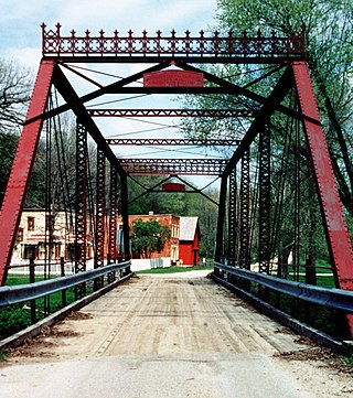
This is a list of the National Register of Historic Places listings in Fillmore County, Minnesota. It is intended to be a complete list of the properties and districts on the National Register of Historic Places in Fillmore County, Minnesota, United States. The locations of National Register properties and districts for which the latitude and longitude coordinates are included below, may be seen in an online map.
Forest Grove is an unincorporated community in Koochiching County, Minnesota, United States; located within the Pine Island State Forest. The community is located north of Mizpah and west of Gemmell, along Koochiching County Road 17.


