
Cowes is an English seaport town and civil parish on the Isle of Wight. Cowes is located on the west bank of the estuary of the River Medina, facing the smaller town of East Cowes on the east bank. The two towns are linked by the Cowes Floating Bridge, a chain ferry.
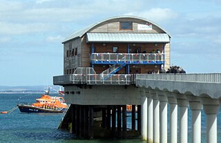
Bembridge is a village and civil parish located on the easternmost point of the Isle of Wight. It had a population of 3,848 according to the 2001 census of the United Kingdom, leading to the implausible claim by some residents that Bembridge is the largest village in England. Bembridge is home to many of the Island's wealthiest residents. The population had reduced to 3,688 at the 2011 Census.

Wootton Bridge is a large village, civil parish and electoral ward with about 3,000 residents on the Isle of Wight, first recorded around the year 1086. The parish also contains the settlement of Wootton.

Wroxall is a village and civil parish in the central south of the Isle of Wight.

Arreton is a village and civil parish in the central eastern part of the Isle of Wight, England. It is about 3 miles south east of Newport.

Whitwell is a small village located on the south of the Isle of Wight, approximately 5 kilometres north-west of Ventnor, the village's nearest town. At the 2011 Census the appropriate civil parish was Niton and Whitwell. In addition to this, it is about five minutes away from its neighbouring small villages of Godshill and Niton, the latter of which, Whitwell forms a civil parish. According to 2001 census data, the total population of the village was 578. There is a variety of stone and thatched housing, as well as some more modern housing, the most recent of which was completed in 2006.
Binstead is a village on the Isle of Wight. It is located in the northeast part of the Island, 1+1⁄2 miles (2.4 km) west of Ryde on the main road A3054 between Ryde and Newport. In the 2011 Census Binstead had been incorporated within Ryde whilst still retaining its electoral ward, Binsted and Fishbourne.

Blackwater is a village on the Isle of Wight, England. It is located about two miles south of Newport, close to the geographic centre of the island. It is in the civil parish of Arreton. The Newclose County Cricket Ground is just to the north of the village.

Gatcombe is a village in the civil parish of Chillerton and Gatcombe, on the Isle of Wight, England. It is located about two and a half miles south of Newport, in the centre of the island. The parish, which includes Chillerton, had a population of 422 at the 2011 census.

Chale is a village and civil parish on the Isle of Wight of England, in the United Kingdom. It is located three kilometres from Niton in the south of the Island in the area known as the Back of the Wight. The village of Chale lies at the foot of St. Catherine's Down.

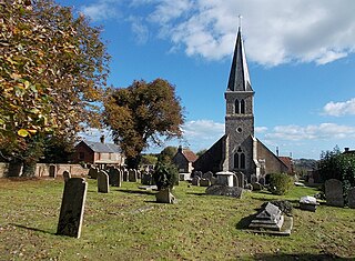
Godshill is a village and civil parish on the Isle of Wight, England, with a population of 1,459 at the 2011 Census. It lies between Newport and Ventnor in the southeast of the island.

Rookley is a village and civil parish on the Isle of Wight. It is located five kilometres south of Newport near the centre of the island.

Southern Vectis is a bus operator on the Isle of Wight. The company was founded in 1921 as "Dodson and Campbell" and became the "Vectis Bus Company" in 1923. The company was purchased by the Southern Railway before being nationalised in 1969. In 1987, the company was re-privatised. In July 2005, it became a subsidiary of Go-Ahead Group.

Lake is a large village and civil parish located on Sandown Bay, on the Isle of Wight, England. It is six miles south-east of Newport situated between Sandown and Shanklin, and 1+1⁄2 miles (2.4 km) to the east of the hamlet of Apse Heath.

Yaverland is a village on the Isle of Wight, just north of Sandown on Sandown Bay. It has about 200 houses. About 1⁄3 of a mile away from the village is the Yaverland Manor and Church. Holotype fossils have been discovered here of Yaverlandia and a pterosaur, Caulkicephalus. The White Air extreme sports festival was held annually at Yaverland pay and display car park between 1997 and 2008, but moved to Brighton for 2009.
Northwood is a village and civil parish on the Isle of Wight. It lies south of the town of Cowes and has been occupied for about 1000 years. The Church of St. John the Baptist in Northwood, was first built between the 11th and 13th centuries.

Winford is a hamlet on the Isle of Wight which since the 1950s and particularly in the late 1970s has seen considerable housing development. The local shop in Forest Road closed some time ago, but tourist attractions with gift shops are situated nearby. It is in the civil parish of Newchurch.

Wightbus was a bus operator on the Isle of Wight, established and owned by the Isle of Wight County Council. It operated a network of thirteen local bus services running across the island, mostly services which would not have been viable for the island's dominant commercial operator, Southern Vectis, to operate.


