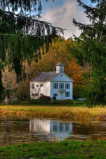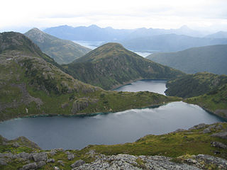
Churchill County is a county in the western U.S. state of Nevada. As of the 2010 census, the population was 24,877. Its county seat is Fallon. Named for Mexican–American War hero brevet Brigadier General Sylvester Churchill, the county was formed in 1861. Churchill County comprises the Fallon, NV Micropolitan Statistical Area. It is in northwestern Nevada. Churchill County is noteworthy in that it owns and operates the local telephone carrier, Churchill County Communications.

Palm Harbor is a census-designated place and unincorporated community in Pinellas County, Florida, United States. As of the 2016 American Community Survey, the CDP had a population of 60,236.

Gibson Township is a township in Susquehanna County, Pennsylvania, United States. The population was 1,221 at the 2010 census.

The Chugach Mountains of southern Alaska are the northernmost of the several mountain ranges that make up the Pacific Coast Ranges of the western edge of North America. The range is about 250 miles (402 km) long and 60 miles (97 km) wide, and extends from the Knik and Turnagain Arms of the Cook Inlet on the west to Bering Glacier, Tana Glacier, and the Tana River on the east. It is bounded on the north by the Matanuska, Copper, and Chitina rivers. The highest point of the Chugach Mountains is Mount Marcus Baker, at 13,094 feet (3,991 m), but with an average elevation of 4,006 feet (1,221 m), most of its summits are not especially high. Even so, its position along the Gulf of Alaska ensures more snowfall in the Chugach than anywhere else in the world, an annual average of over 1500 cm (800 in).

The Suwannee River is a river that runs through south Georgia southward into Florida in the southern United States. It is a wild blackwater river, about 246 miles (396 km) long. The Suwannee River is the site of the prehistoric Suwanee Straits which separated peninsular Florida from the panhandle.
The UK Antarctic Place-Names Committee is a United Kingdom government committee, part of the Foreign and Commonwealth Office, responsible for recommending names of geographical locations within the British Antarctic Territory (BAT) and the South Georgia and the South Sandwich Islands (SGSSI). Such names are formally approved by the Commissioners of the BAT and SGSSI respectively, and published in the BAT Gazetteer and the SGSSI Gazetteer maintained by the Committee. The BAT names are also published in the international Composite Gazetteer of Antarctica maintained by SCAR.

Coronation Island is the largest of the South Orkney Islands, 25 nautical miles (46 km) long and from 3 to 8 nautical miles wide. The island extends in a general east–west direction, is mainly ice-covered and comprises numerous bays, glaciers and peaks, the highest rising to 1,265 metres (4,150 ft).

Lützow-Holm Bay is a large bay, about 220 kilometres (120 nmi) wide, indenting the coast of Queen Maud Land in Antarctica between Riiser-Larsen Peninsula and the coastal angle immediately east of the Flatvaer Islands. It was discovered by Captain Hjalmar Riiser-Larsen in two airplane flights from his expedition vessel, the Norvegia, on February 21 and 23, 1931. The name honours Commander Finn Lützow-Holm of the Royal Norwegian Navy Air Service, a pilot for Captain Riiser-Larsen on the Aagaard in 1935.

Hut Point Peninsula is a long, narrow peninsula from 3 to 5 km wide and 24 km (15 mi) long, projecting south-west from the slopes of Mount Erebus on Ross Island, Antarctica. McMurdo Station (US) and Scott Base (NZ) are Antarctic research stations located on the Hut Point Peninsula.

Horntvedt Glacier is a small glacier flowing to the north coast of the island of Bouvetøya. It is situated immediately east of Cape Circoncision. It was first charted in 1898 by a German expedition under Carl Chun, and recharted in December 1927 by a Norwegian expedition which named it for Harald Horntvedt (1879-1946), the captain of the expedition ship Norvegia.

Coxville, also known as Roseville, is an unincorporated community in Florida Township, Parke County, in the U.S. state of Indiana.


