
Stearns County is a county in the U.S. state of Minnesota. As of the 2010 census, the population was 150,642. Its county seat is Saint Cloud. The county was founded in 1855. It was originally named after Isaac Ingalls Stevens, later changed to Stearns, after Charles Thomas Stearns.
Otter Tail County is a county in the U.S. state of Minnesota. As of the 2010 United States Census, the population was 57,303. Its county seat is Fergus Falls.

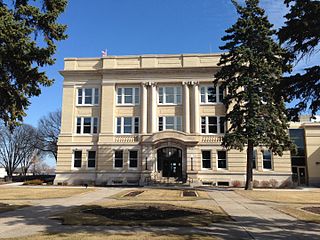
Douglas County is a county in the U.S. state of Minnesota. As of the 2010 United States Census, the population was 36,009. Its county seat is Alexandria.

Shevlin is a city in Clearwater County, Minnesota, United States. The population was 176 at the 2010 census.

Delaware is a town in Nowata County, Oklahoma, United States. The population was 417 at the 2010 census, a loss of 8.6 percent since the 456 at the 2000 census. The town is named for the Eastern Delaware tribe that moved into this area from Kansas after signing a treaty with the Cherokee Nation in 1867.
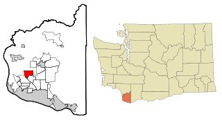
Mount Vista is a census-designated place (CDP) in Clark County, Washington, United States. It includes the Vancouver campus of Washington State University. The population of Mount Vista was 7,850 at the 2010 census, up from 5,770 at the 2000 census.
The Upper Sioux Indian Reservation, or Pezihutazizi in Dakota, is the reservation of the Upper Sioux Community, a federally recognized tribe of the Dakota people, that includes the Mdewakanton.
Wasagamack First Nation is an Oji-Cree First Nation band government in Manitoba, Canada. As of December 2014 the registered population of the Wasagamack First Nation was 2,017, of which 1,823 lived on their own reserve.

WLUI is an oldies radio station broadcasting in Lewistown, Pennsylvania and serving State College, Pennsylvania. It also can be heard in northern parts of Maryland and parts of southern New York state, as well as parts of eastern Pennsylvania.

KKOK-FM, also known as "Prairies Hit Country", is a Country formatted radio station in Morris, Minnesota owned by Iowa City Broadcasting Company, Inc.
Detroit Lakes Wetland Management District is located in northwest Minnesota and includes the counties of Becker, Clay, Mahnomen, Norman, and Polk - an area of approximately 6,000 square miles (16,000 km2). The district is divided into three general landscape areas, roughly equal in size. From west to east, these are: the Red River Valley floodplain, the glacial moraine/prairie pothole region, and the hardwood/coniferous forest. The district currently manages over 42,000 acres (170 km2) of public land in 165 waterfowl production areas (WPAs). Additionally, district staff are responsible for more than 300 wetland and upland easements on private property, totaling more than 11,000 acres (45 km2).
The Morris Wetland Management District includes 244 waterfowl production areas, encompassing over 50,000 acres (200 km2) scattered throughout an eight-county area. Like other wetland management districts in the prairie states, the goal of the Morris District is to restore and protect sufficient wetland and grassland habitat to meet the needs of prairie wildlife, particularly breeding waterfowl, as well as provide places for public recreation.

Davant is an unincorporated community located in the delta of the Mississippi River in the parish of Plaquemines, Louisiana, United States.

Novo-Peredelkino District is an administrative district (raion) of Western Administrative Okrug, and one of the 125 raions of Moscow, Russia.

KVGO is a radio station licensed to Spring Valley, Minnesota, serving the Rochester, Minnesota area. KVGO airs an oldies format and is owned by Townsquare Media Rochester License, LLC.
Battle Brook is a stream in the U.S. state of Minnesota.

Wilmot is an unincorporated community in Washington Township, Noble County, in the U.S. state of Indiana.
Clark Township is a township in Perkins County, in the U.S. state of South Dakota. Its population was 10 as of the 2010 census.


