
U.S. Route 701 is an auxiliary route of US 1 in the U.S. states of South Carolina and North Carolina. The U.S. Highway runs 171.45 miles (275.92 km) from US 17 and US 17 Alternate in Georgetown, South Carolina north to US 301, North Carolina Highway 96, and Interstate 95 (I-95) near Four Oaks, North Carolina. US 701 serves the Pee Dee region of South Carolina and the southern and central portions of Eastern North Carolina. The highway connects Georgetown and Conway in South Carolina with the North Carolina cities of Whiteville, Elizabethtown, Clinton, and a short distance north of its terminus, Smithfield. US 701 has four business routes in North Carolina, including those through Tabor City, Whiteville, Clarkton, and Clinton.

Route 9 is a 40.89-mile-long (65.81 km) expressway running from Interstate 95 (I-95) in Old Saybrook north to I-84 in Farmington. It connects the Eastern Coastline of the state along with the Lower Connecticut River Valley to Hartford and the Capital Region.
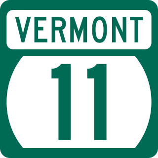
Vermont Route 11 is a 42.154-mile-long (67.840 km) east–west state highway in Vermont, United States. The western end of the highway is at VT 7A in Manchester. The eastern end is at the New Hampshire border at the Cheshire Bridge over the Connecticut River, connecting Springfield and Charlestown, New Hampshire. The route continues into New Hampshire as New Hampshire Route 11, and then following that into Maine as Maine State Route 11. The three Routes 11, totaling 551.7 miles (887.9 km) in length, were once part of the New England Interstate system.

State Route 25 (SR 25) is part of the system of numbered highways in Maine. It runs for 42.4 miles (68.2 km) across the south central part of the state. SR 25 begins at the New Hampshire border near Porter, where it continues west as New Hampshire Route 25 (NH 25). Its eastern terminus is in downtown Portland at the intersection of Park Avenue and State Street. Administratively, it shares a terminus with SR 22 and SR 77.

Route 142 is a state highway in Connecticut that serves as an alternate route of US 1, passing through the village of Short Beach on the Branford shoreline. It starts at US 1 in East Haven and ends at US 1 in Branford, running for 4.27 miles (6.87 km).

Route 81 is a state highway in Connecticut from Clinton center through Killingworth center to the village of Higganum in the town of Haddam.

Route 97 is a north–south state highway in eastern Connecticut running for 29.14 miles (46.90 km) from Route 12 in Norwich to US 44 in Pomfret.

Route 82 is an east–west state highway in Connecticut running 28.47 miles (45.82 km) from Route 9 in Chester east to Route 2 in Norwich.

Route 71 is a north–south state highway in Connecticut, running from Wallingford to West Hartford. It is the main north–south road of Meriden, Berlin and New Britain.

Route 146 is a state road that serves as a scenic alternative to US 1 between Branford and Guilford in the U.S. state of Connecticut. Route 146 is 13.00 miles (20.92 km) long, with 8.36 miles (13.45 km) in Branford and 4.64 miles (7.47 km) in Guilford.

Route 198 is a 23.18-mile-long (37.30 km) state highway in northeastern Connecticut and southern Massachusetts, running from Chaplin, Connecticut to Southbridge, Massachusetts.

Route 149 is a state highway in east-central Connecticut running from Route 82 in East Haddam center north to Route 2 in Colchester.

Route 148 is a state highway in southern and southeastern Connecticut running from Route 79 in Killingworth to Route 82 in the village of Hadlyme. Route 148 crosses the Connecticut River using the Chester–Hadlyme Ferry.

Route 136 is a state highway in southwestern Connecticut, running from Darien to Easton. The route was initially established in 1932 to serve the beach communities between Darien and Southport. Its eastern end was relocated in 1963 to head northeast from Westport to Easton instead.
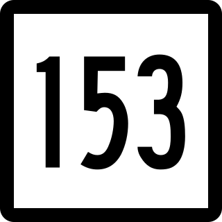
Route 153 is a Connecticut state highway in the Connecticut River valley running from U.S. Route 1 in Westbrook center to Route 9 in Essex Village in the town of Essex.

Route 157 is a state highway in central Connecticut from northwestern Durham, through Middlefield to Middletown.

Route 177 is a state highway in central Connecticut, running from Plainville to Canton.

Route 195 is a state highway in northeastern Connecticut, running from the Willimantic section of Windham to the town center of Tolland via Storrs and Mansfield Center. The road is the main thoroughfare to access the main campus of the University of Connecticut.

Route 145 is a 6.716-mile-long (10.808 km) circuitous south–north urban state highway in Massachusetts. It is entirely within Suffolk County and primarily serves the peninsular town of Winthrop from East Boston and Revere. Its southern terminus is at Route 1A in East Boston and its northern terminus is at Route 16 in Revere.

U.S. Route 45 (US 45) in Tennessee extends from the Mississippi state line to the Kentucky state line in West Tennessee, passing through the cities of Selmer, Henderson, Jackson, and South Fulton. Between Three Way and South Fulton, the highway is split into US 45W and US 45E.

