
U.S. Route 5 is a north–south United States highway running through the New England states of Connecticut, Massachusetts, and Vermont. Significant cities along the route include New Haven, Connecticut; Hartford, Connecticut; and Springfield, Massachusetts. From Hartford northward to St. Johnsbury, Vermont, the road closely follows the route of the Connecticut River.
U.S. Route 1A is the name of several highways found in the United States.

Route 22 is a 14.07-mile-long (22.64 km) secondary state route within the U.S. state of Connecticut. Route 22 is an L-shaped road that is signed east–west from Hamden to the western junction of Route 80 in North Branford, and north–south to its eastern terminus in Guilford. It was designated in 1951 as a bypass of New Haven, connecting the Wilbur Cross Parkway and Route 80.

Interstate 95 (I-95) is the main north–south Interstate Highway on the East Coast of the United States, running in a general east–west compass direction for 111.57 miles (179.55 km) in Connecticut, from the New York state line to the Rhode Island state line. I-95 from Greenwich to East Lyme is part of the Connecticut Turnpike, during which it passes through the major cities of Stamford, Bridgeport, and New Haven. After leaving the turnpike in East Lyme, I-95 is known as the Jewish War Veterans Memorial Highway and passes through New London, Groton, and Mystic, before exiting the state through North Stonington at the Rhode Island border.

Route 70 is a 10.92-mile-long (17.57 km) state highway in the U.S. state of Connecticut, connecting the towns of Cheshire and Meriden. The western half of the route is an important link between the Greater New Haven and the Greater Waterbury areas and is part of the state primary highway system. It runs in a “U” Shaped Pattern.
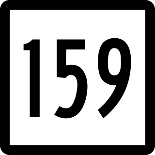
Route 159 is a 21.14-mile-long (34.02 km) state highway connecting the Hartford and Springfield areas in the U.S. states of Connecticut and Massachusetts. It begins as the northern extension of Main Street in Hartford and proceeds northward along the west bank of the Connecticut River towards Agawam, Massachusetts. The route ends at the junction of Route 147 and Route 75 in Agawam center just south of the West Springfield city line. The route was originally designated as U.S. Route 5A in 1932 and was renumbered to its modern designation in October 1968.

U.S. Route 45E (US 45E) is a 61.23-mile-long (98.54 km) state highway in West Tennessee, connecting Jackson with South Fulton via Milan and Martin. For the majority of its length, it runs concurrently with unsigned State Route 43 (SR 43) for most of that highway’s length except for short segments at Martin and South Fulton, where it is cosigned with SR 216 and SR 215, respectively.

Connecticut Route 10 is a state highway that runs between New Haven and the state line near Granby. It continues north of the state line as Massachusetts Route 10, which in turn continues directly to New Hampshire Route 10.

Route 27 is a north–south state highway in southeastern Connecticut running for 3.21 miles (5.17 km) from U.S. Route 1 in Mystic to Route 184 in Old Mystic.

Route 142 is a state highway in Connecticut that serves as an alternate route of US 1, passing through the village of Short Beach on the Branford shoreline. It starts at US 1 in East Haven and ends at US 1 in Branford, running for 4.27 miles (6.87 km).
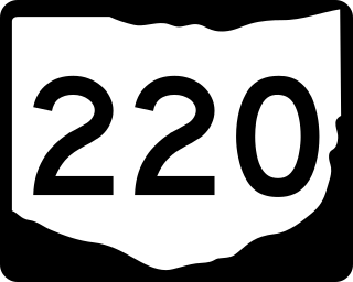
State Route 220 is an east–west state highway in the south central portion of the U.S. state of Ohio. Its western terminus is at SR 772 about 8.25 miles (13.28 km) west of Waverly, and its eastern terminus is at the SR 32/SR 124 concurrency 3 miles (4.8 km) east of Piketon. The entire route is in Pike County.

Route 71 is a north–south state highway in Connecticut, running from Wallingford to West Hartford. It is the main north–south road of Meriden, Berlin and New Britain.
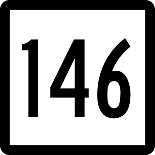
Route 146 is a state road that serves as a scenic alternative to US 1 between Branford and Guilford in the U.S. state of Connecticut. Route 146 is 13.00 miles (20.92 km) long, with 8.36 miles (13.45 km) in Branford and 4.64 miles (7.47 km) in Guilford.

Route 117 is a state highway in southeastern Connecticut, running from Groton to Preston. Route 117 is designated the Colonel Ledyard Highway from its intersection with Route 184 in Groton to the Ledyard-Preston town line.
Route 153 is a Connecticut state highway in the Connecticut River valley running from U.S. Route 1 in Westbrook center to Route 154 in Essex Village in the town of Essex.

Route 184 is a state highway in southeastern Connecticut, running from Groton to North Stonington.

The Groton and Stonington Street Railway was an interurban trolley line that extended from Groton, Connecticut to Westerly, Rhode Island, with a later branch to Old Mystic, Connecticut and an extension to New London. The line operated from 1904 to 1919 and 1923 to 1928, after which it was replaced by buses.

State Route 92 (SR 92) is part of Maine's systems of numbered state highways, located in Washington County. It runs from U.S. Route 1 (US 1) in Machias to an unnumbered road intersection in Machiasport. The route is 4.12 miles (6.63 km) long.
State Route 151 (SR 151) is a 30.5-mile-long (49.1 km) L-shaped state highway in the U.S. state of Maine. Running entirely in Somerset County, it travels from U.S. Route 2 (US 2) in Palmyra to Northeast Somerset, an unorganized territory within the state. It passes through the towns of Hartland, Athens, and Brighton intersecting other state highways in the centers of these towns.

State Route 215 (SR 215) is a state highway in the U.S. state of Maine. It runs for about 17 miles (27 km) between Newcastle at U.S. Route 1 Business and Jefferson at SR 32, entirely in Lincoln County.


