Atlántida is a department located on the north Caribbean shore of Honduras. The capital is the port city of La Ceiba.
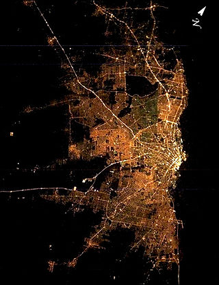
Greater Buenos Aires, also known as the Buenos Aires Metropolitan Area, refers to the urban agglomeration comprising the Autonomous City of Buenos Aires and the adjacent 24 partidos (districts) in the Province of Buenos Aires. Thus, it does not constitute a single administrative unit. The conurbation spreads south, west and north of Buenos Aires city. To the east, the River Plate serves as a natural boundary.
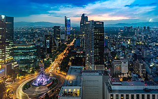
Greater Mexico City is the conurbation around Mexico City, officially called the Metropolitan Area of the Valley of Mexico. It encompasses Mexico City itself and 60 adjacent municipalities of the State of Mexico and Hidalgo.

Playas de Rosarito Municipality is located in the northwestern part of the Mexican state of Baja California comprising part of the Tijuana metropolitan area. It lies just south of the city of Tijuana. Its municipal seat is the city of Rosarito. According to the 2020 census, the municipality had a population of 126,890 inhabitants. Its area is 513.32 km2.

This is a list of the 50 largest cities in the Americas by population residing within city limits as of 2015, the most recent year for which official population census results, estimates, or short-term projections are available for most of these cities. These figures do not reflect the population of the urban agglomeration or metropolitan area which typically do not coincide with the administrative boundaries of the city. For a list of the latter, see List of metropolitan areas in the Americas by population. These figures refer to mid-2015 populations with the following exceptions:
- Mexican cities, whose figures derive from the 2015 Intercensal Survey conducted by INEGI with a reference date of 15 March 2015;
- Calgary, whose 2015 municipal census had a reference date of April 1.
- Brazilian cities, whose figures originate from the 2021 estimate given by the IBGE, with a reference date of July 1, 2021.

Costa Rica is administratively divided into seven provinces which are subdivided into 84 cantons, and these are further subdivided into districts. Cantons are the only administrative division in Costa Rica that possess local government in the form of municipalities. Each municipality has its own mayor and several representatives, all of them chosen via municipal elections every four years.

The Greater Metropolitan Area of Costa Rica is the largest urban agglomeration in the country, comprising areas of high population density surrounding the capital, San José, which geographically corresponds to the Central Valley and extended to include the Guarco Valley, where some of the cantons of the Cartago province are located.

The demographics of Colombia consist of statistics regarding Colombians' health, economic status, religious affiliations, ethnicity, population density, and other aspects of the population. Colombia is the second-most populous country in South America after Brazil, and the third-most populous in Latin America, after Brazil and Mexico.
The 2017 Peru Census was a detailed enumeration and twelfth national population census of Peru. It was conducted by the Instituto Nacional de Estadística e Informática on Sunday, October 22, 2017. Its full name in Spanish is XII Censo de Población, VII de Vivienda y III de Comunidades Indígenas. The previous census performed in Peru was the 2007 Census.