
Kim is a Statutory Town in Las Animas County, Colorado, United States. The population was 63 at the time of the 2020 United States Census.
Edinburg is a town in Shenandoah County, Virginia, United States. The population was 1,041 at the 2010 census.

Ripley is a city in and the county seat of Jackson County, West Virginia, United States. The population was 3,074 at the 2020 census.

Mill Creek is a town in Randolph County, West Virginia, United States, along the Tygart Valley River. The population was 563 at the 2020 census.

Pleasant Valley is a small valley in Washington County, Maryland, United States.
Aylor is an unincorporated community located in Madison County, Virginia, United States.
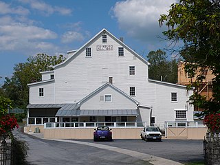
Madison Mills is an unincorporated community located in Madison County, Virginia, United States. It is located at the intersection of U.S. Route 15 and Virginia State Route 230.
Midway Mills is an unincorporated community in Nelson County, Virginia, United States. Originally called Midway, the settlement was established on June 6, 1774, by Dr. William Cabell,, and was the first European settlement in Nelson County. It was named Midway because it was midway between Richmond and Lynchburg along the James River. The area, at that time part of "Old Albemarle County", was later divided into the counties of Albemarle, Amherst, Buckingham, Nelson, and Fluvanna between 1741 and 1809.
Roses Mill is an unincorporated community in Nelson County, Virginia, United States. It lies along the path of the now-defunct Virginia Blue Ridge Railway.
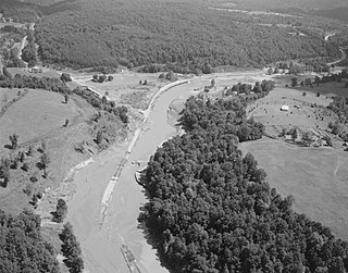
Woods Mill is an unincorporated community in Nelson County, Virginia, United States. It was among the communities severely affected by flash flooding from Hurricane Camille in 1969.
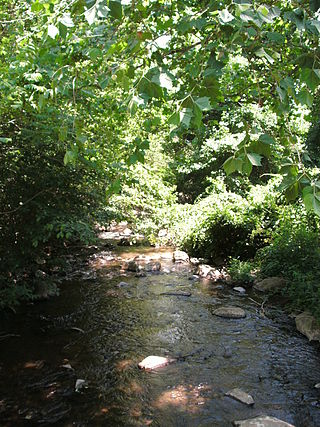
The Thornton River is a 27.9-mile-long (44.9 km) river in the U.S. state of Virginia. It rises at Thornton Gap in Shenandoah National Park and flows east through Rappahannock County, running parallel to U.S. Route 211 until it reaches the town of Sperryville. Continuing east into Culpeper County, the Thornton River joins the Hazel River, a tributary of the Rappahannock River, and thus part of the Chesapeake Bay watershed.
Goods Mill is an unincorporated community in Page County, in the U.S. state of Virginia.

Slate Mills is an unincorporated community in Rappahannock County, in the U.S. state of Virginia.

Cape Charles Air Force Station is a closed United States Air Force General Surveillance Radar station. It is located 3.6 miles (5.8 km) south of Townsend, Virginia. It was closed in 1981. From 1941 to 1948 it was Fort John Custis of the United States Army Coast Artillery Corps. Since 1984 the site has been in the Eastern Shore of Virginia National Wildlife Refuge. For this article's purposes the term "Fort John Custis" includes the nearby Fisherman Island.
Patterson Creek is a 51.2-mile-long (82.4 km) tributary of the North Branch Potomac River in West Virginia's Eastern Panhandle, in the United States. It enters the North Branch east of Cumberland, Maryland, with its headwaters located in Grant County, West Virginia. Patterson Creek is the watershed for two-thirds of Mineral County, West Virginia. The creek passes through Lahmansville, Forman, Medley, Williamsport, Burlington, Headsville, Reeses Mill, Champwood, and Fort Ashby.

Corbet Peak is a 4,822-metre-high (15,820 ft) peak, at the north edge of the ice-covered Vinson Plateau in the Sentinel Range of the Ellsworth Mountains, Antarctica. It surmounts Hinkley Glacier to the northeast and the head of Roché Glacier to the southwest.
Rumford is a census-designated place (CDP) in the town of Rumford in Oxford County, Maine, United States. The population was 4,795 at the 2000 census.
Kennedy is an unincorporated community in Cherry County, Nebraska, United States.
The Charlottesville Woolen Mills is an historic industrial site in Charlottesville, Virginia on which there was a working mill from the 1790s the 1960s. The mills were built, in part, on property once owned by Thomas Jefferson. Company leadership was unusual in offering assistance to employees of all ages to purchase properties for homes near the mill, leading to a neighborhood containing homes at various income levels. The neighborhood surrounding the mills is now known as the Woolen Mills Village Historic District.
