
U.S. Route 7 (US 7) is a north–south United States Numbered Highway in western New England that runs for 308 miles (496 km) through the states of Connecticut, Massachusetts, and Vermont. The highway's southern terminus is at Interstate 95 (I-95) exit 15 in Norwalk, Connecticut. Its northern terminus is at I-89 exit 22 near the village of Highgate Springs, Vermont, immediately south of the Canada–United States border.
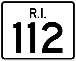
Route 112 is a numbered state highway running 8.5 miles (13.7 km) in the U.S. state of Rhode Island. It connects U.S. Route 1 (US 1) in the town center of Charlestown and Route 138 in the town of Richmond.

Route 4 is an east–west primary state highway connecting rural Litchfield County to the Greater Hartford area of the U.S. state of Connecticut. It runs 46.72 miles (75.19 km) from the town of Sharon to the town of West Hartford.
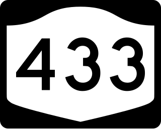
New York State Route 433 (NY 433) is a state highway located entirely in the town of North Castle in Westchester County, New York, United States. It runs for 0.70 miles (1.13 km) from the Connecticut state line, where it continues south into Greenwich as Riversville Road, to an intersection with NY 22 near the hamlet of Armonk. NY 433 is one of six New York touring routes less than one mile (1.6 km) in length. The route was originally designated as part of NY 128 in the 1930s. NY 128 was truncated to its junction with NY 22 in Armonk in January 1971, at which time its former routing along North Greenwich Road was redesignated as NY 433.

New York State Route 128 (NY 128) is a 5.53-mile (8.90 km) long north–south state highway in northern Westchester County, New York. The route begins at an intersection with NY 22 just west of I-684 in the hamlet of Armonk. Crossing through downtown Armonk, the route connects to NY 117 in the southern end of the village of Mount Kisco.

Connecticut Route 10 is a state highway that runs from Interstate 95 (I-95) in New Haven Massachusetts state line, where it continues as Massachusetts Route 10, which in turn continues directly to New Hampshire Route 10.

Route 27 is a north–south state highway in southeastern Connecticut running for 3.21 miles (5.17 km) from U.S. Route 1 in Mystic to Route 184 in Old Mystic.

Route 43 is a Connecticut state highway. It is 5.06 miles (8.14 km) long and runs north–south within the town of Cornwall. It connects the town center with the village of Cornwall Hollow near the Canaan town line.

Route 45 is a Connecticut state highway from US 202 in Washington to US 7 in Cornwall, in the rural northwest of the state. It is 10.29 miles (16.56 km) long and runs north–south.
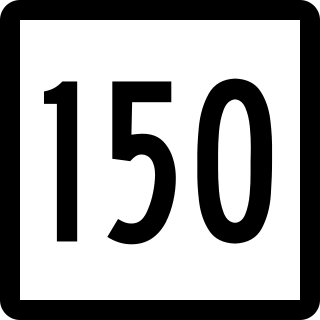
Route 150 is a state highway in southern Connecticut running for 9.04 miles (14.55 km) from the village of Northford, in the town of North Branford, through the center of Wallingford, to the village of Yalesville in Wallingford.

Route 234 is a state highway in southeastern Connecticut, running entirely within the town of Stonington. It connects the Old Mystic section of town with the village of Pawcatuck.

Route 128 is a minor state highway in northwestern Connecticut, running from U.S. Route 7 in Sharon to Route 4 in Cornwall.

Route 133 is a state highway in western Connecticut, running from U.S. Route 202 in Brookfield to Route 67 in Bridgewater.

Route 139 is a state highway in southern Connecticut running from Branford to North Branford.

Route 145 is a state highway in the western part of the Connecticut River Estuary region of Connecticut. It connects Clinton center, through the village of Winthrop, to the town of Chester.

Route 177 is a state highway in central Connecticut, running from Plainville to Canton.

Route 197 is a 14.17-mile-long (22.80 km) state highway in northeastern Connecticut and southern Massachusetts, running from Union, Connecticut, to Dudley, Massachusetts. The Connecticut section is signed as an east–west route, while the Massachusetts section is signed north–south.

Route 218 is a 7.00-mile (11.27 km) state highway in the U.S. state of Connecticut. It is located in the northwestern suburbs of Hartford, traveling in an L-shaped pattern from West Hartford to Windsor.
U.S. Route 7 (US 7) is a north–south United States Numbered Highway which runs 78 miles (126 km) in the state of Connecticut. The route begins at Interstate 95 (I-95) in Norwalk starting out as a four-lane freeway until the Wilton town line. The route then proceeds north as a two-lane surface road through Redding and Ridgefield, where it becomes a four-lane surface road until it reaches Danbury. The route becomes a four-lane freeway again, eventually merging with I-84 for a brief period before it turns and proceeds north with US 202 in Brookfield. The freeway section terminates at an intersection with US 202 at the Fairfield–Litchfield county line next to Candlewood lake. The route then continues north as a four-lane arterial road to New Milford, where it becomes a two-lane surface road, running north to the Massachusetts border in North Canaan. US 7 was aligned to its current route around 1930, and, since then, three sections totaling around 12 miles (19 km) have been upgraded to freeway standards.

State Route 128 (SR 128) is a 35.1-mile-long (56.5 km) state highway that runs south-to-north through portions of Macon, Taylor, and Crawford counties in the west-central part of the U.S. state of Georgia.

