The Coginchaug River in Connecticut, with a watershed including 39 sq mi of forests, pastures, farmland, industrial, and commercial areas, is the main tributary of the Mattabesset River. It is 16.1 mi long, and the river flows northwards from a point approximately 1.8 mi south of the Durham line in Guilford, Connecticut, into Durham and then Middlefield, meeting the Mattabesset in Middletown, about 0.8 miles (1.3 km) upstream of the Connecticut River. The name "Coginchaug" comes from a local Native American name for the Durham area and it was the original name for the town. It has been said to mean "The Great Swamp."

Connecticut Route 80 is a 25.9 mile highway that runs through south-central Connecticut. The route runs from Interstate 91 (I-91) in Quinnipiac Meadows neighborhood of New Haven east to Route 154 in Deep River. Route 80 runs within 5 miles of many town squares- including Downtown New Haven.

Route 17 is a primary north–south state route beginning in New Haven, through Middletown, and ending in Glastonbury, with a length of 36.33 miles (58.47 km).

Route 66 is an east-west state highway running from Meriden to Windham, serving as an alternate east–west route to U.S. Route 6 through east-central Connecticut.

Route 68 is an east–west state highway in the U.S. state of Connecticut connecting the towns of Durham and Naugatuck.
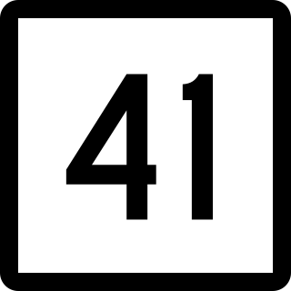
Route 41 is a 17.86-mile (28.74 km) scenic state highway in rural Northwestern Connecticut. It extends from the New York state line in Sharon to the Massachusetts state line in Salisbury and is the only state-numbered route in Connecticut that has both its ends at a state border.
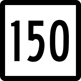
Route 150 is a state highway in southern Connecticut running for 9.04 miles (14.55 km) from the village of Northford, in the town of North Branford, through the center of Wallingford, to the village of Yalesville in Wallingford.
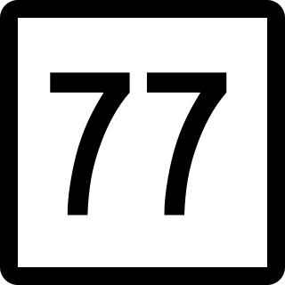
Route 77 is a state highway in southern Connecticut. It is a state-designated scenic road and runs from the Guilford town green, through North Guilford, into the town center of Durham.

New York State Route 166 (NY 166) is a north–south state highway in Otsego County, New York, in the United States. It extends for 20.96 miles (33.73 km) from NY 28 in the village of Milford to U.S. Route 20 (US 20) north of the village of Cherry Valley. Much of NY 166's southern portion is near Cooperstown, and various county routes serve as connectors between NY 166 and Cooperstown. In Cherry Valley, NY 166 intersects the former western terminus of the First Great Western Turnpike. After passing under US 20, the road continues as County Route 32, which becomes County Route 82 at the Montgomery County line, north to Sprout Brook in Montgomery County, where it meets NY 163. NY 166 is a two-lane highway its entire length.
Route 97 is a north–south state highway in eastern Connecticut running for 29.14 miles (46.90 km) from Route 12 in Norwich to US 44 in Pomfret.
Route 201 is a state highway in southeastern Connecticut, running in an inverted "L" pattern from Stonington to Griswold.

Route 148 is a state highway in southern and southeastern Connecticut running from Route 79 in Killingworth to Route 82 in the village of Hadlyme. Route 148 crosses the Connecticut River using the Chester–Hadlyme Ferry.

Route 107 is a state highway in southwestern Connecticut, connecting the village of Georgetown to the town center of Redding.
Route 147 is a state highway in central Connecticut running from Durham to Middlefield.

Route 187 is a 27.23-mile-long (43.82 km) secondary state route in the U.S. states of Connecticut and Massachusetts. It begins in the city of Hartford at Albany Avenue, travels north through the towns of Bloomfield, Windsor, East Granby and Suffield until the Connecticut-Massachusetts state line. Route 187 continues north across the state line through Agawam into Westfield, where the route ends at US 20 east of Westfield center. Route 187 crosses the Farmington River between the towns of Bloomfield and East Granby.
Route 155 is a Connecticut state highway running entirely within the city of Middletown. It is primarily used as a connector between the Route 9 expressway and Route 17 towards Durham.

Route 191 is a state highway in northern Connecticut, running from East Windsor to Enfield.
Route 217 is a state highway in central Connecticut, running from Route 66 in Middlefield to Route 372 in Cromwell. The route serves the Westfield section of the city of Middletown.

Route 313 is a Connecticut state highway in the outer northwestern New Haven suburbs, running from Seymour to Woodbridge.
State Route 296 is a 10.54-mile (16.96 km) long state highway entirely in Champaign County, Ohio. Routed around the northern side of Urbana, the route runs in two townships, Salem Township and Wayne Township.

