Related Research Articles
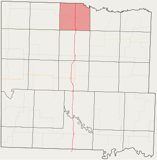
Deer Creek Township is one of twenty-four townships in Bates County, Missouri, and is part of the Kansas City metropolitan area within the USA. As of the 2000 census, its population was 2,162.

East Boone Township is one of twenty-four townships in Bates County, Missouri, and is part of the Kansas City metropolitan area within the USA. As of the 2000 census, its population was 482.

Grand River Township is one of twenty-four townships in Bates County, Missouri, and is part of the Kansas City metropolitan area within the USA. As of the 2000 census, its population was 251.
West Boone Township is one of twenty-four townships in Bates County, Missouri, and is part of the Kansas City metropolitan area within the USA. As of the 2000 census, its population was 582.
Austin is an unincorporated community in Cass County, in the U.S. state of Missouri. It is part of the Kansas City metropolitan area.
Coleman is an unincorporated community in Cass County, in the U.S. state of Missouri.
Daugherty is an populated place in central Cass County, in the U.S. state of Missouri. The community is on Missouri Route 7 five miles southeast of Harrisonville and approximately 5.5 miles northwest of Garden City. The site is at an elevation of 892 feet and just west of Eight Mile Creek.
Dayton is an unincorporated community in southeast Cass County, in the U.S. state of Missouri. Garden City is five miles north along Missouri Route F and Creighton lies 6.5 miles east along Missouri Route B. The Settles Ford Conservation Area along the South Grand River lies to the southeast. The community lies atop a ridge between Sugar Creek to the west and Lick Branch to the east. It is part of the Kansas City metropolitan area.
Everett is an unincorporated community in Cass County, in the U.S. state of Missouri.
Index is an extinct town in Cass County, in the U.S. state of Missouri.
Jaudon is an unincorporated community in western Cass County, in the U.S. state of Missouri and is part of the Kansas City metropolitan area.
Kimpton is an extinct town in Cass County, in the U.S. state of Missouri.
Lisle is an unincorporated community in western Cass County, in the U.S. state of Missouri and is part of the Kansas City metropolitan area within the United States.
Lone Tree is an unincorporated community in Cass County, in the U.S. state of Missouri.
Powell is an extinct town in Cass County, in the U.S. state of Missouri.
West Union is an extinct town in Cass County, in the U.S. state of Missouri.
Dayton Township is an inactive township in Cass County, in the U.S. state of Missouri.
Index Township is an inactive township in Cass County, in the U.S. state of Missouri.
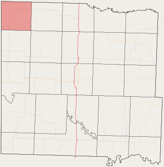
Raymore Township is a township in Cass County, in the U.S. state of Missouri. The township had 28,306 residents as of a 2015 estimate. The township borders Jackson County and includes the city of Raymore
West Peculiar Township is an inactive township in Cass County, in the U.S. state of Missouri.
References
- ↑ U.S. Geological Survey Geographic Names Information System: Main City, Missouri
- ↑ "Cass County Place Names, 1928–1945 (archived)". The State Historical Society of Missouri. Archived from the original on June 24, 2016. Retrieved September 17, 2016.
{{cite web}}: CS1 maint: bot: original URL status unknown (link) - ↑ "Post Offices". Jim Forte Postal History. Retrieved September 17, 2016.
Municipalities and communities of Cass County, Missouri, United States | ||
|---|---|---|
| Cities |  | |
| Villages | ||
| Townships | ||
| Unincorporated communities | ||
| Ghost towns | ||
| Footnotes | ‡This populated place also has portions in an adjacent county or counties | |
38°29′22″N94°29′32″W / 38.48944°N 94.49222°W
| | This Cass County, Missouri state location article is a stub. You can help Wikipedia by expanding it. |