
Maryland Route 175 is a state highway in the U.S. state of Maryland. The highway runs 17.01 miles (27.37 km) from Little Patuxent Parkway in Columbia east to MD 3 in Millersville. MD 175 is a major highway through the large unincorporated community of Columbia; the highway connects U.S. Route 29 next to Columbia Town Center with Interstate 95 (I-95) and an industrial area on the eastern side of Howard County. MD 175 also connects Fort Meade with Jessup and Odenton in western Anne Arundel County, where it links MD 295 and MD 32 with the eastern part of the U.S. Army base.

West Virginia Route 480 is a 5.64-mile-long (9.08 km) state highway in the U.S. state of West Virginia. Known for most of its length as Kearneysville Pike, the highway extends from WV 115 in Kearneysville north to the Maryland state line at the Potomac River in Shepherdstown, from where the highway continues as Maryland Route 34. The route is one of the main north–south highways of northern Jefferson County and passes through the campus of Shepherd University. WV 480 was originally established in the early 1920s as West Virginia Route 48. The highway was paved in the mid-1920s, which included a different routing through Shepherdstown. WV 48's present routing through the town was established in the late 1930s when the first James Rumsey Bridge was completed; that bridge was replaced with the current bridge in the mid-2000s. WV 48 was renumbered to WV 480 in the mid-1970s after U.S. Route 48 was established in West Virginia and Maryland.
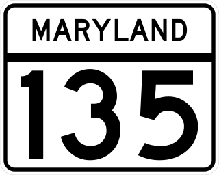
Maryland Route 135 is a state highway in the U.S. state of Maryland. Known for most of its length as Maryland Highway, the state highway runs 29.00 miles (46.67 km) from U.S. Route 219 in Oakland in Garrett County east to US 220 in McCoole in Allegany County. MD 135 is the main link between the towns of Oakland, Mountain Lake Park, Loch Lynn Heights, and Deer Park on the Appalachian Plateau and the communities of Bloomington, Luke, Westernport, and McCoole in the upper valley of the North Branch Potomac River. These groups of towns are separated by Backbone Mountain.

Interstate 81 (I-81) is a part of the Interstate Highway System that runs from Dandridge, Tennessee, to Fishers Landing, New York. In Maryland, the Interstate Highway runs 12.08 miles (19.44 km) from the West Virginia state line at the Potomac River in Williamsport north to the Pennsylvania state line near Maugansville. I-81 is the primary north–south Interstate Highway in Washington County, connecting Hagerstown with Chambersburg and Harrisburg to the north and Martinsburg, Winchester, and Roanoke to the south.

U.S. Route 219 (US 219) is a part of the U.S. Highway System that runs from Rich Creek, Virginia to West Seneca, New York. In the U.S. state of Maryland, the U.S. Highway runs 48.40 miles (77.89 km) from the West Virginia state line near Redhouse to the Pennsylvania state line near Grantsville. Known as Garrett Highway for much of its length in Maryland, US 219 is the primary north–south route in Garrett County, connecting Interstate 68 (I-68) and Oakland. The highway also provides the main access to the resort area of Deep Creek Lake, which includes Maryland's only ski area, Wisp Ski Resort.

Maryland Route 335 is a state highway in the U.S. state of Maryland. The state highway runs 16.36 miles (26.33 km) from the upper end of Hooper's Island north to MD 16 in Church Creek. MD 335 provides access to several communities along the Honga River in southern Dorchester County. The state highway also passes through Blackwater National Wildlife Refuge. MD 335 was designated as one of the original state roads, but only the portion of the highway from Crossroads to the Blackwater River was completed by the early 1920s. The highway was constructed from Crossroads to Golden Hill in the mid-1920s, from Crossroads to Church Creek in the late 1920s, and from Golden Hill to Hooper's Island with the completion of a modern bridge over Fishing Creek in 1934.
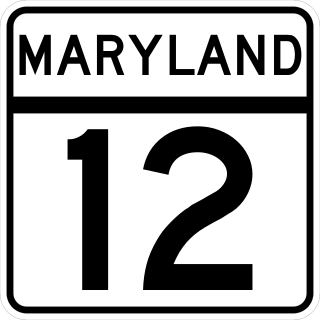
Maryland Route 12 is a state highway on the Eastern Shore in the U.S. state of Maryland. The route runs 30.57 mi (49.20 km) from the Virginia border south of Stockton, Worcester County, where it continues into Virginia as State Route 679, north to Main Street in the city of Salisbury in Wicomico County. The route is known as Snow Hill Road for most of its length and passes mostly through areas of woods and farms as well as the communities of Stockton, Girdletree, and Snow Hill. MD 12 intersects several roads including MD 366 in Stockton, U.S. Route 113 and US 113 Business in Snow Hill, MD 354 in Indiantown, and US 13 near Salisbury. Portions of MD 12 near Snow Hill and Stockton existed as unnumbered state roads by 1910. When the first state highways in Maryland were designated by 1927, MD 12 was assigned to run from Stockton north to Salisbury. By 1940, the route was extended south to the Virginia border and a small incomplete portion between Snow Hill and Salisbury was finished. A dumbbell interchange is planned at the US 113 intersection; however, this project is currently on hold.
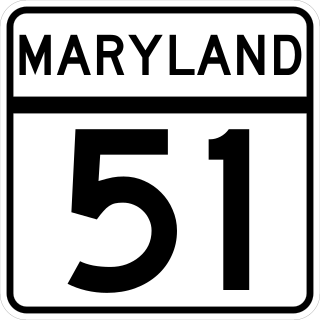
Maryland Route 51 is a state highway in the U.S. state of Maryland. Known for most of its length as Oldtown Road, the state highway runs 25.53 miles (41.09 km) from an interchange with Interstate 68 (I-68) in Cumberland south to the West Virginia state line at the Potomac River, where the highway continues east as West Virginia Route 9 toward Paw Paw. Around Cumberland, MD 51 is a major highway that provides a bypass of the South End neighborhood of that city and access to industrial areas along the North Branch Potomac River. South of North Branch, MD 51 is a rural highway connecting small communities along the river in southeastern Allegany County, including Oldtown. Documentation from the Maryland State Highway Administration depict the highway as following an east-west alignment, but all signage indicates a north-south road.

Maryland Route 53 is a state highway in the U.S. state of Maryland. Known as Winchester Road, the state highway runs 3.33 miles (5.36 km) from U.S. Route 220 in Cresaptown north to US 40 Alternate in La Vale. MD 53 is the northernmost part of the Winchester Road, a colonial era road between Cumberland and Winchester, Virginia. The modern MD 53 was constructed in the mid-1920s and updated in the 1950s.
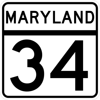
Maryland Route 34 is a state highway in the U.S. state of Maryland. Known for most of its length as Shepherdstown Pike, the state highway begins at the West Virginia state line at the Potomac River, where the highway continues south as West Virginia Route 480 through Shepherdstown. The state highway runs 9.95 miles (16.01 km) east to U.S. Route 40 Alternate in Boonsboro. MD 34 is the main east–west highway of southern Washington County, connecting Shepherdstown and Boonsboro with Sharpsburg and Keedysville. The state highway, which was preceded by the Boonsboro and Sharpstown Turnpike, was constructed as a modern highway in the late 1910s and early 1920s. MD 34's bypass of Keedysville opened around 1960. The western end of the state highway has had three bridges. A 19th-century bridge was destroyed in a 1936 flood and replaced by the James Rumsey Bridge in 1939. The present bridge, also named for James Rumsey, opened in 2005.

Maryland Route 38 is a state highway in the U.S. state of Maryland. Known as Kitzmiller Road, the state highway runs 5.67 miles (9.12 km) from the West Virginia state line at the North Branch Potomac River in Kitzmiller, where the highway continues south as West Virginia Route 42, north to MD 135 on top of Backbone Mountain. MD 38 connects Kitzmiller with the rest of Garrett County and across the North Branch Potomac River to Blaine and Elk Garden in western Mineral County. The state highway was constructed in the late 1920s and early 1930s. MD 38 originally ran from U.S. Route 219 near Thayerville through Deer Park and Altamont to Kitzmiller. The state highway was truncated at Backbone Mountain when MD 135 was extended west to Oakland in the mid-1950s.

Maryland Route 42 is a state highway in the U.S. state of Maryland. Known as Friendsville Road, the state highway runs 15.06 miles (24.24 km) from U.S. Route 219 near McHenry north to the Pennsylvania state line near Asher Glade, where the highway continues as State Route 2013 in Fayette County toward Pennsylvania Route 281 in Markleysburg. MD 42 provides the most direct route between Friendsville and southern Garrett County. The state highway was constructed as a modern highway from Friendsville to north of Accident in the early 1920s. The remainder of the highway through Asher Glade was completed in the early 1930s. The southern terminus was shifted from Accident to McHenry in 1960.
Canal Parkway, which carries the unsigned Maryland Route 61 designation, is a state highway and automobile parkway in the U.S. state of Maryland. The road begins at the West Virginia state line at the North Branch Potomac River opposite Wiley Ford, where the highway continues south as West Virginia Route 28. The parkway runs 1.94 miles (3.12 km) north to MD 51 within the city of Cumberland. Canal Parkway provides a connection between downtown Cumberland and the South Cumberland neighborhood and with Greater Cumberland Regional Airport, which is located in Mineral County, West Virginia.
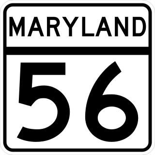
Maryland Route 56 is a state highway in the U.S. state of Maryland. Known as Big Pool Road, the state highway runs 8.08 miles (13.00 km) from Interstate 70 (I-70) in Big Pool east to MD 68 near Pinesburg in western Washington County. MD 56, which features a pair of one-lane bridges, provides access to Fort Frederick State Park and the eastern trailhead of the Western Maryland Rail Trail. The state highway was first constructed in the mid 1910s from what is now U.S. Route 40 south to Big Pool. The highway was extended east toward the village of Big Spring in the early 1930s and to MD 68 in the late 1950s. MD 56 was truncated at I-70 in the mid-1990s.
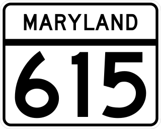
Maryland Route 615 (MD 615) is a state highway in the U.S. state of Maryland. The state highway runs 4.35 miles (7.00 km) from Interstate 70 (I-70) and U.S. Route 40 (US 40) east of Hancock north to the Pennsylvania state line, where the highway continues as State Route 2001 (SR 2001) in Fulton County. MD 615 has two sections, an east–west section that closely parallels I-70 and US 40 and a north–south highway that follows Heavenly Acres Ridge. The ridge road was constructed as MD 615 in the mid-1930s. The east–west segment is part of the original alignment of US 40 constructed in the mid-1910s. After I-70 was constructed east of Hancock in the early 1960s, MD 615 was extended to its current length parallel to the new freeway.

U.S. Route 220 is a part of the U.S. Highway System that runs from Rockingham, North Carolina, to South Waverly, Pennsylvania. In Maryland, the federal highway runs 27.30 miles (43.94 km) from the West Virginia state line at the North Branch Potomac River in McCoole north to the Pennsylvania state line in Dickens. Known as McMullen Highway for much of its length in Maryland, US 220 is the primary north–south route in central Allegany County, connecting Cumberland with its southern suburbs and Keyser, West Virginia to the south and Bedford, Pennsylvania to the north. The federal highway is part of the National Highway System between the West Virginia state line and Maryland Route 53 in Cresaptown and between Interstate 68 (I-68), with which it is concurrent through Cumberland, and the Pennsylvania state line.
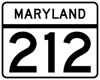
Maryland Route 212 is a state highway in the U.S. state of Maryland. The highway runs 10.43 miles (16.79 km) from the District of Columbia boundary in Chillum north and east to U.S. Route 1 near Beltsville. MD 212 connects the northern Prince George's County communities of Chillum, Langley Park, Adelphi, Hillandale, Calverton, and Beltsville. The highway was constructed from Washington to Adelphi in the early 1910s and extended north through Adelphi to Hillandale in the early 1930s. A separate portion of MD 212 was built from west of US 1 through Beltsville to what is now MD 201 in the early 1930s; the two sections were unified in the early 1940s. The route was expanded to a divided highway south of Langley Park in the early 1960s and at Interstate 95 (I-95) in the early 1970s. MD 212's eastern terminus was relocated north of Beltsville after a series of county highways were upgraded and brought into the state highway system in the 2000s and early 2010s; the old highway through Beltsville to MD 201 became MD 212A.
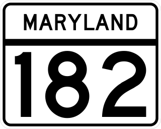
Maryland Route 182 is a state highway in the U.S. state of Maryland. Known for most of its length as Layhill Road, the highway runs 6.54 miles (10.53 km) from MD 97 in Glenmont to MD 108 in Olney. MD 182 connects the northeastern Montgomery County communities of Glenmont, Layhill, Norwood, Sandy Spring, and Olney. The highway was constructed in the early 1920s. MD 182 was expanded to a four-lane divided highway from Glenmont to the site of its interchange with MD 200 in the late 1980s and early 1990s.

Maryland Route 234 (MD 234) is a state highway in the U.S. state of Maryland. Known as Budds Creek Road, the state highway runs 19.02 miles (30.61 km) from U.S. Route 301 (US 301) in Allens Fresh east to MD 5 in Leonardtown. MD 234 is the primary east–west highway of southern Charles County and western St. Mary's County, connecting the St. Mary's County seat of Leonardtown and the communities of Clements, Chaptico, Budds Creek, Wicomico, and Newport with US 301, which heads north to La Plata, the county seat of Charles County, and south to the Governor Harry W. Nice Memorial Bridge over the Potomac River.

Maryland Route 858 is a collection of unsigned state highways in the U.S. state of Maryland. These four highways are old segments of MD 67 between Rohrersville and Boonsboro in southeastern Washington County. These highways were designated when MD 67 was relocated in the early 1960s. The longest segment is MD 858F, which runs exactly 1 mile (1.6 km) between a pair of intersections with MD 67 in Rohrersville. In addition to the four existing highways, there are several county-maintained segments of old MD 67 between Rohrersville and Boonsboro and at Gapland, Brownsville, and Weverton south of Rohrersville.


