
Route 169 is a 47.36-mile-long (76.22 km) state highway in the U.S. states of Connecticut and Massachusetts. It begins in the city of Norwich, Connecticut, and runs 38 miles (61 km) through Northeastern Connecticut, continuing across the state line into Southbridge, Massachusetts. The route ends in Charlton after another nine miles (14 km). A portion of the route in the town center of Pomfret is on the National Register of Historic Places as Pomfret Street Historic District, and 32.10 miles (51.66 km) of the road is designated as the Connecticut State Route 169 National Scenic Byway.

New York State Route 343 (NY 343) is a state highway located entirely within central Dutchess County, in the Hudson Valley region of the U.S. state of New York. It runs east–west from the intersection of NY 82 in the village of Millbrook to the town of Amenia, where it crosses the Connecticut state line and continues eastward as Route 343, a Connecticut state highway located entirely within the town of Sharon. Along the way, it has a 7.3-mile (11.7 km) concurrency with NY 22 from vicinity of the hamlet of Dover Plains to the hamlet of Amenia.

Connecticut Route 14 is one of several secondary routes from eastern Connecticut into Rhode Island. It runs from the Willimantic section of the town of Windham to the Rhode Island state line in Sterling.

New York State Route 221 (NY 221) is a state highway in Cortland County, New York, in the United States. Its western terminus is at an intersection with NY 38 in the town of Harford. The eastern terminus is at a junction with NY 26 and NY 41 in the town of Willet. Near its western end, NY 221 intersects New York State Route 200. Together, NY 200 and NY 221 form a loop route off NY 38 between the hamlets of Harford and Harford Mills within the town of Harford. NY 221 originally followed modern NY 200 and ended at U.S. Route 11 (US 11) in Marathon when it was assigned as part of the 1930 renumbering of state highways in New York. It was extended to its present length by the following year and realigned to serve Harford later in the decade. NY 200 was assigned in the 1940s.
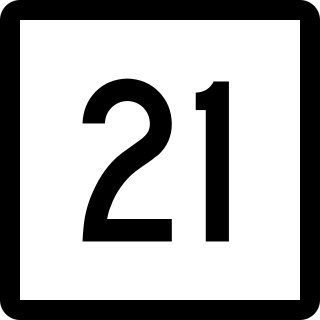
Route 21 is a 5.67-mile (9.12 km) state highway in rural northeastern Connecticut. It extends from Route 12 in Killingly to Route 193 in Thompson. It serves as an alternate to Route 12 in the town of Putnam.

Route 152 is a state highway in Connecticut running entirely within the town of Orange. It serves to connect the town center with U.S. Route 1 and Route 34.
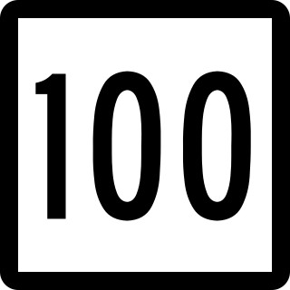
Route 100 is a state highway in Connecticut that connects the town center of East Haven with the Foxon community in the northern part of town.

Route 87 is a Connecticut state highway running from Franklin to Andover, generally in a southeast–northwest direction. The route is part of the road connecting the towns of Norwich, Lebanon, Columbia, and Andover. Route 87 is a two-lane rural collector road for its entire length.
New York State Route 193 (NY 193) is a short state highway located entirely within the town of Ellisburg in the southwest part of Jefferson County in the North Country of New York in the United States. The western terminus of NY 193 is at an intersection with NY 3 at Southwick Beach State Park, just east of Lake Ontario. Its eastern terminus is at a junction with U.S. Route 11 (US 11) in Pierrepont Manor, just east of Interstate 81 (I-81) and north of Mannsville.

Route 131 is a 13.55-mile-long (21.81 km) state highway in the U.S. states of Massachusetts and Connecticut. It serves the southwestern portion of the Worcester metropolitan area. It begins at Route 12 in the North Grosvenordale section of the town of Thompson in Connecticut and ends at U.S. Route 20 in the center of Sturbridge in Massachusetts.

Route 234 is a state highway in southeastern Connecticut, running entirely within the town of Stonington. It connects the Old Mystic section of town with the village of Pawcatuck.

Route 163 is a state highway in southeastern Connecticut running from Montville to Bozrah.

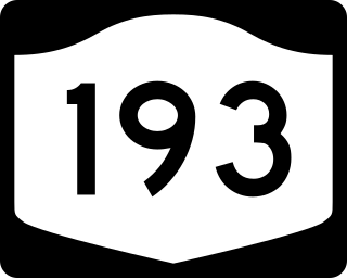
Route 193 is a 9.40-mile-long (15.13 km) state highway in the U.S. states of Connecticut and Massachusetts. The route travels between the town centers of Thompson, Connecticut and Webster, Massachusetts. The road closely parallels Interstate 395 throughout its entire length. It is signed North-South, with the exception of one East-West Sign at the South end.

Route 128 is a minor state highway in northwestern Connecticut, running from U.S. Route 7 in Sharon to Route 4 in Cornwall.
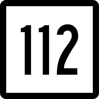
Route 112 is a state highway in northwestern Connecticut, running entirely within the town of Salisbury. The route serves the village of Lime Rock.

Route 171 is a state highway in northeastern Connecticut, running from Union to Putnam.

Route 178 is a Connecticut state highway in the northern suburbs of Hartford, running from Bloomfield to Windsor.

Route 302 is a state highway in western Connecticut running from Bethel to Newtown.

U.S. Route 44 (US 44) is an east–west United States Numbered Highway that runs for 237 miles (381 km) through four states in the Northeastern United States. The western terminus is at US 209 and New York State Route 55 (NY 55) in Kerhonkson, New York, a hamlet in the Hudson Valley region. The eastern terminus is at Route 3A in Plymouth, Massachusetts.

