This is intended to be a complete list of the properties and districts on the National Register of Historic Places in Scott County, Iowa, United States. Latitude and longitude coordinates are provided for many National Register properties and districts; these locations may be seen together in a map.

This is a list of the National Register of Historic Places listings in Boone County, Iowa.

This is a list of the National Register of Historic Places listings in Carroll County, Iowa.

This is a list of the National Register of Historic Places listings in Cerro Gordo County, Iowa.

This is a list of the National Register of Historic Places listings in Calhoun County, Iowa.

This is a list of the National Register of Historic Places listings in Buchanan County, Iowa.
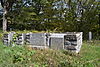
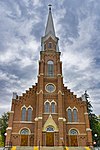
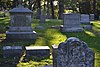
This is a list of the National Register of Historic Places listings in Fayette County, Iowa.

This is a list of the National Register of Historic Places listings in Franklin County, Iowa.

This is a list of the National Register of Historic Places listings in Dubuque County, Iowa.

This is a list of the National Register of Historic Places listings in Iowa County, Iowa.

This is a list of the National Register of Historic Places listings in Hardin County, Iowa.

This is a list of the National Register of Historic Places listings in Greene County, Iowa.

This is a list of the National Register of Historic Places listings in Jefferson County, Iowa.

This is a list of the National Register of Historic Places listings in Mahaska County, Iowa.

This is a list of the National Register of Historic Places listings in Polk County, Iowa.

This is a list of the National Register of Historic Places listings in Tama County, Iowa.

This is a list of the National Register of Historic Places listings in Webster County, West Virginia.

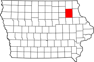
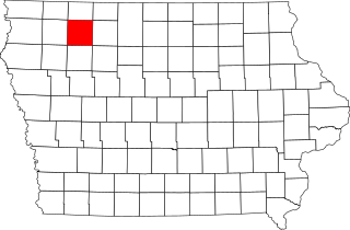
This is intended to be a complete list of the properties and districts on the National Register of Historic Places in Wright County, Iowa, United States. Latitude and longitude coordinates are provided for many National Register properties and districts; these locations may be seen together in a map.
This is a list of the National Register of Historic Places listings in Clay County, Iowa.

This is a list of the National Register of Historic Places listings in Sac County, Iowa.