
Lakewood is a neighborhood in East Dallas, Texas (USA). It is adjacent to White Rock Lake and Northeast of Downtown Dallas. Lakewood is bound by Mockingbird Lane to the north, Abrams Road to the west, Gaston Avenue to the south, and White Rock Lake to the east.

The Cedars is a district in Dallas, Texas (U.S.). It is adjacent to and south of downtown and Interstate 30, east of Austin Street, north of Corinth Street, and west of the 75 & 345 Overpasses just east of South Good Latimer Expy.

The Arts District is a performing and visual arts district in downtown Dallas, Texas.
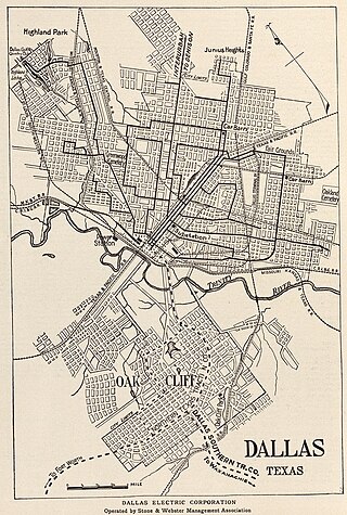
Junius Heights is Dallas' largest historic district, a neighborhood of more than 800 homes in East Dallas, Texas (USA) situated east of Munger Place, south of Swiss Avenue and southwest of Lakewood. It is relatively rectangular, bounded roughly by Gaston Avenue on the NW, Paulus Avenue on the NE, Reiger Avenue on the SE, and Henderson Avenue on the SW.
Preston Hollow is a neighborhood in north Dallas, Texas, USA. It is bordered on the south by the city of University Park, Texas.

The Farmers Market District is an area in southeastern downtown Dallas, Texas (USA). It lies south of the Main Street District, north of the Cedars, west of Deep Ellum, northeast of the Convention Center District, and southeast of the Government District.
Vickery Place is a historic neighborhood in East Dallas, Texas, bounded on the north by Goodwin Avenue, on the west by North Central Expressway and Henderson, on the south by Belmont, and on the east by Greenville Avenue. Although Vickery Place is considered by some to be part of the M Streets area, it is strictly speaking not as it is south of the Greenland Hills subdivision. Vickery Place has seen much improvement and property value growth over the past several years due to its close proximity to Downtown Dallas and Uptown, and its location bordering the vibrant Lower Greenville Avenue and Knox-Henderson entertainment and shopping districts.

The Munger Place Historic District is a neighborhood and historic district in Old East Dallas, Texas (USA), generally lying between North Fitzhugh Avenue on the southwest, Gaston Avenue on the northwest, Henderson Avenue on the northeast, and Columbia Avenue on the southeast. Detailed boundaries are defined in the Munger Place Ordinance. It is a Dallas Landmark District and listed on the National Register of Historic Places.
Bryan Place is a neighborhood in Old East Dallas, Texas (USA). It is east of the Arts District of downtown and the State Thomas neighborhood, north of Deep Ellum, south of Cityplace and west of Munger Place. Its boundaries are generally considered to be US-75 North Central Expressway on the west, Ross Avenue on the (north)west, N. Washington Street on the (north)east, and Live Oak Avenue on the (south)east.

The Convention Center District is an area in southern downtown Dallas, Texas (USA). It lies south of the Government District, north of the Cedars, west of the Farmers Market District, and east of the Reunion District. Visitdallas is contracted by the City to attract conventions, although an audit released in January 2019 cast doubts on its effectiveness.
The City Center District is an area in north-central downtown Dallas, Texas (USA). It lies south of the Arts District, north of the Main Street District, northwest of Deep Ellum, southwest of Bryan Place and east of the West End Historic District. The district contains a large concentration of downtown commercial space which prior to 1950 had been concentrated along Main Street. The district also contains remnants of Theatre Row, the historical entertainment area along Elm Street which contained theatres such as the Majestic Theatre.
Eastwood is a neighborhood in east Dallas, Texas (USA) adjacent to Lake Park Estates, Old Lake Highlands, and Lochwood. It is located near White Rock Lake.
Old Lake Highlands is a neighborhood in east Dallas, Texas (USA). It is adjacent to White Rock Lake. It is in Dallas Council District 9.
Lower Greenville is a neighborhood in east Dallas, Texas (USA), west of Lakewood. Specifically, the neighborhood is the area adjacent to Greenville Avenue south of Mercedes Avenue and north of Belmont Avenue. The area south of Belmont Avenue is often, and more specifically, called "Lowest Greenville," and the area north of Mockingbird Lane is called "Upper Greenville." "Lower Greenville" is also used to refer to the neighborhoods surrounding Greenville Avenue, including Vickery Place, the Belmont Addition, Glencoe, Greenland Hills, and Stonewall Terrace. It straddles Dallas Council Districts 14 and 2.

Perry Heights is a historical neighborhood in the Oak Lawn area of Dallas, Texas (USA). As one of the last remaining single-family neighborhoods in the Dallas uptown area, Perry Heights consists of five streets of residential real estate with neighborhood restaurants and bars within walking distance. From Hawthorne Avenue in the Northwest, Cedar Springs Road in the Southwest, Wycliff Avenue in the Southeast, and Rawlins Street in the Northeast, Perry Heights was developed in 1922 by wealthy oil man, E. Gordon Perry. It is bounded by Hawthorne Avenue on the northwest, Rawlins Street on the northeast, Wycliff Avenue on the southeast, and Vandelia Street on the southwest.
Melshire Estates is a neighborhood in north Dallas, Texas (USA). It is generally bounded by Charlestown Drive on the north, Preston Road ( SH 289) on the east, Forest Lane on the south, and the Dallas North Tollway on the west. Small areas adjacent to Forest Lane, a shopping center on the northwestern corner of Preston Road and Forest Lane, and townhomes along Lindenshire Lane and Brookstone Drive are not considered part of the neighborhood.
Highland Hills is a neighborhood in the southern sector of Dallas, Texas. The neighborhood is centered on the intersection of Bonnie View and Simpson Stuart roads. Approximately 78% of the neighborhood is African American, 18% is Hispanic, 2% is white, and 2% are multiracial.
Larchmont is a neighborhood of single family residences located in Houston. It is located between Richmond Avenue and Interstate 69/U.S. Route 59.

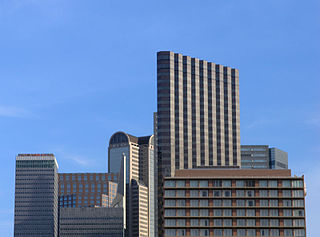
Downtown Dallas is the central business district (CBD) of Dallas, Texas, United States, located in the geographic center of the city. It is the second-largest business district in the state of Texas. The area termed "Downtown" has traditionally been defined as bounded by the downtown freeway loop, bounded on the east by I-345 (although known and signed as the northern terminus of I-45 and the southern terminus of US 75, on the west by I-35E, on the south by I-30, and on the north by Woodall Rodgers Freeway.

