
Great Shelford is a village located approximately 4 miles (6.4 km) to the south of Cambridge, in Cambridgeshire, in eastern England. In 1850 Great Shelford parish contained 1,900 acres (7.7 km2) bisected by the River Cam. The population in 1841 was 803 people. By 2001, this had grown to 3,949 and by the Census 2011 to 4,233. It was described as Britain's twenty-second richest village in 2011.
Sapiston is a small village and civil parish in the West Suffolk district of Suffolk in eastern England, located near the Suffolk-Norfolk border. It is in northern Suffolk lying on the river Blackbourn. The place-name 'Sapiston' is first attested in the Domesday Book of 1086, where it appears as Sapestuna. The name is thought to mean 'village of soapmakers', but this is not certain.
Barnardiston is a village and parish in the West Suffolk district of Suffolk, England. The village is located about four miles north-east of Haverhill off the A143.

Bedingfield is a village and civil parish in the Mid Suffolk district of Suffolk, England. Rishangles and Southolt were included in the population at the 2011 Census.

Pampisford is a village, south of Cambridge, on the A505 road near Sawston, Cambridgeshire, England.
Culpho is a hamlet and civil parish in the East Suffolk district of Suffolk, about 4 miles (6.4 km) northeast of the centre of Ipswich and 3+1⁄2 miles (5.6 km) west of Woodbridge.

Mundford is a village and civil parish in the English county of Norfolk. It is situated at the intersection of two major routes, the A134 Colchester to King's Lynn road and the A1065 Mildenhall to Fakenham road, about 8 miles (13 km) north west of Thetford. The village is 35 miles (56 km) from the city of Norwich and 88 miles (142 km) from London.

Little Bradley is a small village and civil parish in the West Suffolk district, in the county of Suffolk, England. According to Eilert Ekwall, the meaning of the village name is "the wide clearing." The Domesday Book records the population of Little Bradley in 1086 to be 57. It lies in the valley of the River Stour, north of Haverhill. The population at the 2011 Census was included in the civil parish of Great Bradley.

Shimpling is a village and civil parish in south Suffolk, England. About 7 miles (11 km) from Bury St Edmunds, it is part of Babergh district. The village is formed from two halves, the newer Shimpling Street and about 2 miles (3 km) away the old village of Shimpling. The village has a Church of England parish church, where supermodel Claudia Schiffer and film producer Matthew Vaughn were married on 25 May 2002.

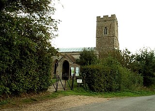
Brandeston is a village in Suffolk, England on the River Deben 11 miles (18 km) northeast of Ipswich. Brandeston is west of Kettleburgh and northwest of Hoo Green. It is a Parish in Plomesgate district and 3½ miles SW of Framlingham r. station."

Little Cornard is a village and civil parish in Suffolk, England. Located around 0.5 miles (0.8 km) from its larger sibling, Great Cornard, on the B1508 road between Sudbury and Colchester, it is part of Babergh district, and has a population of 305, reducing to 286 at the 2011 Census. The parish also includes the hamlet of Workhouse Green.

Little Bealings is a village in Suffolk, England. It has a population of approximately 470 people living in around 185 households. The population had fallen to 420 at the 2011 Census. Its nearest towns are Ipswich and Woodbridge. Nearby villages include Great Bealings, Playford, Culpho, Martlesham and Grundisburgh.

Little Blakenham is a village and civil parish in the Mid Suffolk district of Suffolk in eastern England. Located around two miles north-west of Ipswich and a mile south-west of its larger sister village Great Blakenham, in 2005 its population was 310. The parish also contains the hamlets of Inghams and The Common.

Fakenham Magna is a village and civil parish in the West Suffolk district of Suffolk in eastern England. The meaning of the word 'Fakenham' can be split into two: 'Faken' and 'ham', both of which derive from Old English. The former refers to somebody by the name of 'Facca', with the latter meaning 'a village / a homestead', making the direct translation 'Facca's homestead'. 'Magna' translates from Latin as 'great', hence the alternative name of the village of 'Great Fakenham'. During World War Two, however, the village was referred to as 'Little Fakenham', which was used to avoid confusion with the larger civil parish of Fakenham in Norfolk.

Euston is a village and civil parish in the West Suffolk district of Suffolk in eastern England. Located on the A1088 around two miles south of Thetford, in 2005 its population was 130.

Little Whelnetham (well-NEE-thum) is a village and civil parish in the West Suffolk district of Suffolk in eastern England. Located around two miles south of Bury St Edmunds, in 2005 its population was 180.

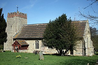
Great Livermere is a village and civil parish in the West Suffolk district of Suffolk in eastern England. It is located around four miles north-east of the borough's largest town Bury St Edmunds.

Great Thurlow is a village and civil parish in the West Suffolk district of Suffolk in eastern England. It is situated in the far south-west of Suffolk, with the River Stour passing through the centre of the village.

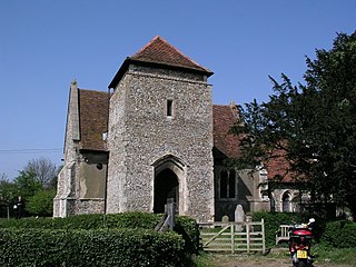
Ousden is a village and civil parish in the West Suffolk district of Suffolk in eastern England. It is located around 6 miles (10 km) west of Bury St Edmunds and 72 miles (116 km) north of London, and as of 2011, its population is 266. The village has an Anglican church of St Peter's and a chapel in the cemetery dedicated to St Barnabas.
Washbrook is a village and former civil parish 3 miles (4.8 km) south west of Ipswich, now in the parish of Copdock and Washbrook, in the Babergh district, in the county of Suffolk, England. In 2011 the built-up area had a population of 517.


