Rakai District is a district in the Central Region of Uganda. The town of Rakai is the site of the district's headquarters.

Apac District is a district in the Northern Region of Uganda. The Town of Apac hosts the district headquarters.

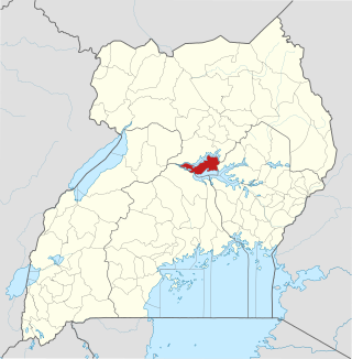
Lira District is a district in Northern Uganda. Like many other Ugandan districts, it is named after its 'chief town', Lira.

Kapchorwa District is a district in the Eastern Region of Uganda. The town of Kapchorwa is the district's main municipal, administrative, and commercial center, and is the site of the district headquarters. It is also the home district of Stephen Kiprotich, the men's marathon gold medalist at the 2012 Summer Olympics, and Joshua Cheptegei, the men's 5,000 m gold medalist at the 2021 Summer Olympics in Tokyo.

Lira is a city in the Northern Region of Uganda. It is the main municipal, administrative, and commercial centre of Lira District.

Soroti is a city in Eastern Region of Uganda. It is the main city, commercial, and administrative center in Soroti District, one of the nine administrative districts in the Teso sub-region. Soroti city was immediately approved for operationalization ahead of schedule by the Parliament of Uganda in the Financial Year 2020/2021.

Apac is a town in Apac District in the Northern Region of Uganda. It is the 'chief town' of the district and the district headquarters are located there. The district is named after the town.
Pakwach is a town in the Northern Region of Uganda. It is the main commercial, political and administrative center of Pakwach District. In the 19th century the town came under brief occupation by the Ottoman branch of the Khedivate of Egypt, as part of Hatt-ı Üstuva (Equatoria) Vilayet.
Amolatar District is a district in Northern Uganda. Like many other Ugandan districts, it is named after its main municipal and administrative centre, Amolatar Town.
Pader is a town in Pader District in the Northern Region of Uganda. The town is administered by the Pader Town Council, an urban local government. It is the largest metropolitan area in the district and the site of the district headquarters.
Kiruhura is a town in the Western Region of Uganda. It is the largest town in Kiruhura District and the site of the district headquarters.
Amolatar is a town in Northern Uganda. It is the main municipal, administrative and commercial centre of Amolatar District. The district is named after the town.
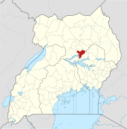
Dokolo is a town in the Northern Region of Uganda. It is the main municipal, administrative, and commercial centre of Dokolo District.
Oyam is a town in the Northern Region of Uganda. It is the primary municipal, administrative, and commercial centre of Oyam District.
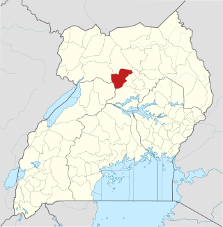
Oyam District is a district in Northern Uganda. Like most Ugandan districts, it is named after its 'chief town', Oyam, where the district headquarters are located.

Kaabong is a town in the Northern Region of Uganda. It is the chief municipal, administrative and commercial center of the eponymous Kaabong District, and the district headquarters are located in the town.

Otuke District is a district in Northern Uganda. Like many other Ugandan districts, Otuke district is named after its 'chief town', Otuke, where the district headquarters are located.

Kole District is a district in Northern Uganda. Like most other Ugandan districts, it is named after its 'chief town', Kole, where the district headquarters are located.

Alebtong District is a district in the Northern Region of Uganda. The town of Alebtong serves as the district headquarters.
The Soroti–Dokolo–Lira Road is a road in Uganda, connecting the towns of Soroti in Soroti District, Dokolo in Dokolo District, and Lira in Lira District.