
Beeston is a village and civil parish in the unitary authority of Cheshire West and Chester, which itself is in the ceremonial county of Cheshire in the north of England. It is located approximately 10 km south-east of Chester, and approximately 3.5 km south-west of Tarporley, close to the Shropshire Union Canal. According to the 2011 census, Beeston had a population of 188.
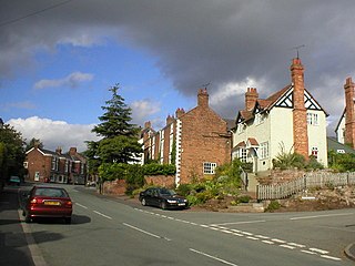
Farndon is a village and civil parish in the unitary authority of Cheshire West and Chester and the ceremonial county of Cheshire, England. It is on the banks of the River Dee, south of Chester, which here forms the England–Wales border. At the 2001 Census, the village had a population of 1,517, increasing to 1,653 at the 2011 Census. The Welsh village of Holt lies just over the River Dee from Farndon.

Marston is a village and civil parish in the unitary authority of Cheshire West and Chester, in the northwest of England. The settlement is on the River Weaver, close to Anderton and the Anderton Boat Lift. The nearest major settlement to Marston is Manchester, which lies 15 miles (24 km) to the northeast. It is the site of the Lion Salt Works, now an industrial museum.

Chester was a non-metropolitan local government district of Cheshire, England from 1974 to 2009. It had the status of a city and a borough.

A civil parish is a country subdivision, forming the lowest unit of local government in England. There are 333 civil parishes in the ceremonial county of Cheshire, most of the county being parished. At the 2001 census, there were 565,259 people living in 332 parishes, accounting for 57.5 per cent of the county's population.
Chester Castle is an area around the castle in Chester. It was historically an extra-parochial area and today remains a civil parish, although with no inhabitants.

The Bache is a small civil parish and suburb of Chester, Cheshire, England.

Broomhall is a civil parish in the unitary authority of Cheshire East and the ceremonial county of Cheshire, England. The main line of the Shropshire Union Canal runs through the parish and the River Weaver forms part of its boundary. The main settlement is the hamlet of Broomhall Green, which lies on the A530 about 3.5 miles (5.6 km) south-west of Nantwich. The civil parish has an area of 539 hectares, and also includes part of the small settlement of Sandford, with a total population of around 200 in 2011. Nearby villages include Aston, Sound, Wrenbury and Audlem. Broomhall appears in the Domesday survey and the name was also historically spelled Bromhall.

Bulkeley is a village and civil parish in Cheshire, England, on the A534 9 miles west of Nantwich. In 2001, it had a population just below 250.
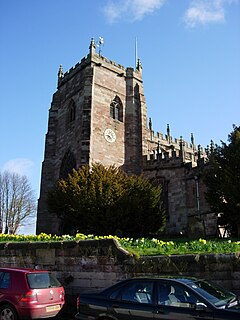
Malpas is a small ancient market town and civil parish in the unitary authority of Cheshire West and Chester and the ceremonial county of Cheshire, England. The parish lies on the borders with Shropshire and Wales, and had a population of 1,673 at the 2011 Census. The name derives from Old French and means "bad passage".

Mollington is a small village and civil parish in the unitary authority of Cheshire West and Chester and the ceremonial county of Cheshire, England. It is located two miles north of the city of Chester, with approximate boundaries formed by the A41 Liverpool-Chester trunk road and Shropshire Union Canal to the east and southeast, the A540 Wirral Peninsula trunk road to the south and west and the A5117 Dunkirk link road to the north.
Tarvin was, from 1894 to 1974, a rural district in the administrative county of Cheshire, England. The district was named after the village of Tarvin, and saw considerable boundary changes throughout its life.

Tarporley is a large village and civil parish in Cheshire, England. It is bypassed by the A49 and A51 roads, and holds a regular country market on the first Saturday of each month.

Norbury is a hamlet and civil parish in the unitary authority of Cheshire East and the ceremonial county of Cheshire, England. The parish lies on the boundary with Cheshire West and Chester, and also includes the small settlements of Gauntons Bank, Hurst Green, Swanwick Green, Norbury Common and Holtridge, with a total population of nearly 200 people in 2011. The hamlet of Norbury lies around 5 miles (8 km) north of Whitchurch in Shropshire. Nearby villages include No Man's Heath, Marbury and Wrenbury.

Huntington is a village and civil parish on the southern outskirts of Chester in the unitary authority of Cheshire West and Chester and the ceremonial county of Cheshire, England. At the 2001 Census, the population of the entire civil parish was 1,961, increasing to 2,115 at the 2011 census.

Little Stanney is a suburban village and civil parish in Cheshire, England located on the Wirral Peninsula. It has a population of 181, increasing to 198 at the 2011 Census. and is located between Chester and Ellesmere Port.
Churton by Aldford is a former civil parish, now in the parish of Churton, in the borough of Cheshire West and Chester and ceremonial county of Cheshire in England. In 2001 it had a population of 136. The parish included the northern part of the village of Churton. The civil parish was abolished in 2015 to form Churton. It is associated with the nearby Church of England parish of St John the Baptist, Aldford, the nearest place of public worship.

Churton by Farndon is a former civil parish, now in the parish of Churton, in the borough of Cheshire West and Chester and ceremonial county of Cheshire in England. In 2001 it had a population of 146, increasing to 153 at the 2011 Census. The parish included the southern part of the village of Churton. The civil parish was abolished in 2015 to form Churton.

Churton Heath is a former civil parish, now in the parish of Aldford and Saighton, in the Borough of Cheshire West and Chester and ceremonial county of Cheshire in England. In 2001 it had a population of 8.
Churton is a village and civil parish in the Cheshire West and Chester district, in the county of Cheshire, England. The civil parish was formed from the parishes of Churton by Aldford, Churton by Farndon and Edgerley in 2015.

