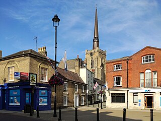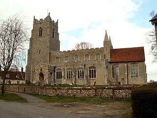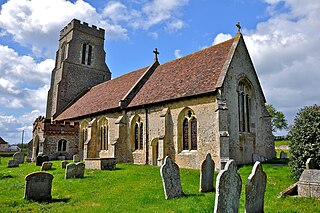
Mid Suffolk is a local government district in Suffolk, England. The district is primarily a rural area, containing just three towns, being Stowmarket, Needham Market and Eye. Its council was based in Needham Market until 2017 when it moved to shared offices with neighbouring Babergh District Council in Ipswich, outside either district. In 2021 it had a population of 103,417.

Babergh District is a local government district in Suffolk, England. In 2021 it had a population of 92,300. The district is primarily a rural area, containing just two towns, Sudbury and Hadleigh, which was the administrative centre until 2017 when the council moved to shared offices with neighbouring Mid Suffolk District Council in Ipswich, outside either district. The district is named after the medieval Babergh Hundred, which covered part of the area.

Aldham is a village and civil parish in the Babergh district of Suffolk, England. Located around 8 miles (13 km) west of Ipswich, in 2005 it had a population of 200, reducing to 175 at the 2011 Census.

Alpheton is a village and civil parish in the Babergh district of Suffolk, England. Located on the A134 road about six miles north of Sudbury, in 2005 it had a population of 260, reducing to 256 at the 2011 Census. According to Eilert Ekwall the meaning of the village name is the homestead of Aelfled.

Boxford is a village and civil parish in the Babergh district of Suffolk, England. Located around six miles east of Sudbury straddling the River Box and skirted by the Holbrook. The parish includes the hamlets of Calais Street, Hagmore Green and Stone Street. In 2021 the built-up area had a population of 833. In 2021 the parish had a population of 1403. The parish borders Assington, Edwardstone, Groton, Kersey, Newton and Polstead. There are 87 listed buildings in Boxford. Boxford became a conservation area in 1973.

Monks Eleigh is a village and a civil parish in Babergh, Suffolk, United Kingdom, situated on the tributary to the River Brett in a rural area. The parish contains the hamlets of Swingleton Green and Stackyard Green.

Chelmondiston is a small village and civil parish in Suffolk, England located on the Shotley Peninsula, five miles south-east of Ipswich. The hamlet of Pin Mill lies within the parish on the south bank of the River Orwell. The village comprises approximately 500 dwellings and has a population of just over 1,000. It is one of the largest villages situated on the Shotley Peninsula.

Brent Eleigh is a village and civil parish in the Babergh district of Suffolk, England. Located between Hadleigh and Lavenham, in 2005 it had a population of 180 reducing to 174 at the 2011 census.

Little Waldingfield is a village and civil parish in Suffolk, England. Located two miles from its sister village, Great Waldingfield, it is part of the Babergh district, and includes the hamlet of Humble Green.

Edwardstone is a village and civil parish in the Babergh district, in the county of Suffolk, England. The parish contains the hamlets of Mill Green, Priory Green, Round Maple and Sherbourne Street, and Edwardstone Woods, a Site of Special Scientific Interest. In 2021 the parish had a population of 375. The parish boarders Boxford, Great Waldingfield, Groton, Little Waldingfield, Milden and Newton.

Brettenham is a village and civil parish in the Babergh district of Suffolk, England. In 2005 it had a population of 270, increasing to 353 at the 2011 Census, and reduced to 320 in the 2021 census.

Thorpe Morieux is a small village and civil parish in Suffolk, England. It is 10 miles south-east of Bury St Edmunds and 10 miles north east of Sudbury.

Lawshall is a village and civil parish in Suffolk, England. Located around a mile off the A134 between Bury St Edmunds and Sudbury, it is part of Babergh district. The parish has nine settlements comprising the three main settlements of The Street, Lambs Lane and Bury Road along with the six small hamlets of Audley End, Hanningfield Green, Harrow Green, Hart's Green, Hibb's Green and Lawshall Green.

Groton is a village and civil parish in the Babergh district, Suffolk, England, located around a mile north of the A1071 between Hadleigh and Sudbury. In 2021 the parish had a population of 299.

Higham is a village and civil parish in Suffolk, England. Located on the eastern bank of the River Brett, around 400 metres (440 yd) north of the point at which it joins the River Stour, it is part of Babergh district. In 2005 it had a population of 140, including Shelley and increasing to 203 at the census 2011.

Weston is a village and civil parish in the English county of Suffolk. It is around 2 miles (3 km) south of Beccles in the East Suffolk district. The parish lies either side of the A145 road and is crossed by the Ipswich to Lowestoft railway line. Neighbouring parishes include Ellough, Ringsfield, Willingham St Mary and Shadingfield. The village is largely dispersed with a population of around 230.

Ousden is a village and civil parish in the West Suffolk district of Suffolk in eastern England. It is located around six miles west of Bury St Edmunds and 72 miles north of London, and as of 2011, its population is 266. The village has an Anglican church of St Peter's and a chapel in the cemetery dedicated to St Barnabas.

Offord D'Arcy is a village and former civil parish, now in the parish of Offord Cluny and Offord D'Arcy. It is 4.2 miles (6.8 km) north of St Neots and 3 miles (4.8 km) south-west of Huntingdon. Offord D'Arcy is in Huntingdonshire which is a non-metropolitan district of Cambridgeshire as well as a historic county of England. It is the twin village of Offord Cluny and together they are known as The Offords. Historically both villages had their own parish councils but the two civil parishes were merged on 1 April 2010. At the time of the 2001 census, the population of Offord D'Arcy was 747 people.

Hawkedon is a village and civil parish in the West Suffolk district of Suffolk in eastern England. Located around 7 miles (11 km) south-south-west of Bury St Edmunds, the parish also contains the hamlet of Thurston End, and in 2005 had a population of 120. The majority of the village is classed as a conservation area.

Cosford Rural District was a rural district in the administrative county of West Suffolk, England. It was created in 1894 out of the earlier Cosford rural sanitary district, except for Hadleigh parish which was made a separate urban district. Only minor adjustments were made to its boundary in the reorganisation of 1935. It was named after the historic hundred of Cosford, although the rural district covered a significantly larger area that included most of Cosford hundred and part of the neighbouring hundred of Babergh.


