
Aldeburgh is a coastal town in the county of Suffolk, England, north of the River Alde. Its estimated population was 2,276 in 2019. It was home to the composer Benjamin Britten and remains the centre of the international Aldeburgh Festival of arts at nearby Snape Maltings, which was founded by Britten in 1948. It also hosts an annual poetry festival and several food festivals and other events.

Carlton Colville is a seaside town and civil parish in the English county of Suffolk. It is 3 miles (5 km) south-west of the centre of the town, in the East Suffolk district. The area lies along the A146 Lowestoft to Beccles road.

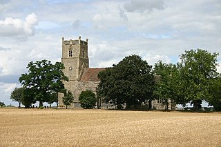
Orford is a village in Suffolk, England, within the Suffolk Coast and Heaths Area of Outstanding Natural Beauty. It is 9 miles (14 km) east of Woodbridge.

Titchwell is a village and civil parish in Norfolk, England. It is situated on the north Norfolk coast some 2 km (1.2 mi) west of the village of Brancaster, 9 km (5.6 mi) north-east of the seaside resort of Hunstanton, 30 km (19 mi) north of the town of King's Lynn and 70 km (43 mi) north-west of the city of Norwich.
Barnby is a village and civil parish in the East Suffolk district of the English county of Suffolk. The village is 5 miles (8.0 km) west of Lowestoft and 3 miles (4.8 km) east of Beccles in the north of the county. It is effectively merged with the village of North Cove which constitutes a separate parish.

Rendlesham is a village and civil parish near Woodbridge, Suffolk, United Kingdom. It was a royal centre of authority for the king of the East Angles. The proximity of the Sutton Hoo ship burial may indicate a connection between Sutton Hoo and the East Anglian royal house, the Wuffingas. The king of Essex, Swithhelm who reigned from 660 to around 664, was baptised at Rendlesham by Bishop Cedd with King Æthelwold of East Anglia acting as his godfather. He died around the time of the great plague of 664 and may have been buried at the palace of Rendlesham.

Higham is a village and civil parish in the West Suffolk district of Suffolk in the east of England. Located midway between Bury St Edmunds and Newmarket, in 2005 its population was 140. Higham is split into three parts: Upper Green, Middle Green and Lower Green.

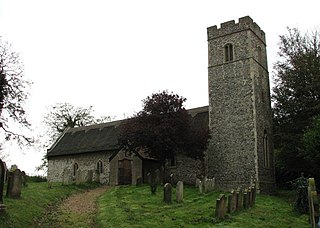
Butley is a village and civil parish in the English county of Suffolk.

Deben Rural District was a rural district in the county of East Suffolk, England. It was created in 1934 by the merger of parts of the disbanded Bosmere and Claydon Rural District, the disbanded Plomesgate Rural District and the disbanded Woodbridge Rural District, under a County Review Order. It was named after the River Deben and administered from Woodbridge.

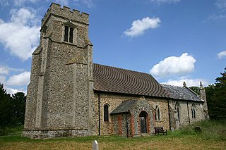
Sudbourne is a village and civil parish in Suffolk, England, located approximately 2 miles (3 km) north of Orford.
Depden is a village and civil parish in the West Suffolk district of Suffolk in eastern England. Located on the A143 around five miles south-west of Bury St Edmunds, in 2005 its population was 200, reducing to 184 at the 2011 Census.

Little Whelnetham (well-NEE-thum) is a village and civil parish in the West Suffolk district of Suffolk in eastern England. Located around two miles south of Bury St Edmunds, in 2005 its population was 180.

Nowton is a small village and civil parish in the West Suffolk district of Suffolk in eastern England. Located on the southern edge of Bury St Edmunds, in 2005 its population was estimated to be 140. At the 2011 census 163 people were recorded as living in the village.
Market Weston is a small village and civil parish in the West Suffolk district of Suffolk in eastern England. It is located near the Norfolk border around seven miles east-south-east of Thetford. In 2005 its population was estimated to be 260. 245 people were recorded at 2011 census. The parish also contains the Weston Fen SSSI.

Alde–Ore Estuary is a 2,534 hectare biological and geological Site of Special Scientific Interest which stretches along the Suffolk coast between Aldeburgh and Bawdsey, and also includes parts of the Alde, Ore and Butley Rivers. It is in the Suffolk Coast and Heaths Area of Outstanding Natural Beauty, and is a Grade I Nature Conservation Review site, a Special Area of Conservation, a Ramsar internationally important wetland site, and a Special Protection Area under the European Union Directive on the Conservation of Wild Birds. It includes two Geological Conservation Review sites, "Orfordness and Shingle Street" and "The Cliff, Gedgrave", and two nature reserves managed by the Suffolk Wildlife Trust, Alde Mudflats and Simpson's Saltings. The coastal part of the site is Orfordness-Havergate, a National Nature Reserve, and Orford Ness is managed by the National Trust, while Havergate Island is managed by the Royal Society for the Protection of Birds.

Denham is a village and civil parish in the West Suffolk district of Suffolk in eastern England. Located around five miles west of Bury St Edmunds, in 2005 its population was 170, increasing to 171 at the 2011 Census. The parish also includes the hamlet of Denham End, as well as the remains of Denham Castle, a motte-and-bailey structure. The parish council is shared with neighbouring Barrow.

Lackford is a village and civil parish in the West Suffolk district of Suffolk in eastern England. Located around four miles north-west of Bury St Edmunds on the A1101, in 2005 it had a population of 270.
Linstead Magna is a civil parish in the East Suffolk district of Suffolk in eastern England.
Stratton Hall is a civil parish in the East Suffolk district of Suffolk in eastern England. In 2005 its population was 30. It shares a parish council with nearby Levington. Stratton once had a church.

Gedgrave Hall Pit is a 0.65-hectare (1.6-acre) geological Site of Special Scientific Interest in Gedgrave, south of Saxmundham in Suffolk. It is a Geological Conservation Review site, and it is in the Suffolk Coast and Heaths Area of Outstanding Natural Beauty.

