
East Isles is a neighborhood within the larger Calhoun Isles community in Minneapolis, Minnesota, United States.

Uptown is a commercial district in southwestern Minneapolis in the U.S. state of Minnesota, that is centered at the intersection of Hennepin Avenue and West Lake Street. It has traditionally spanned the corners of four neighborhoods, Lowry Hill East, East Bde Maka Ska, South Uptown and East Isles neighborhoods, which are all within the Calhoun Isles community. Historically, the boundaries of Uptown are Bde Maka Ska to the west, Dupont Avenue to the east, 31st Street to the south, and 28th Street to the north; though these borders often vary. Uptown is a popular destination for retail, nightlife, and cultural events, and the district was famously written about by recording artist Prince.

Minneapolis is officially defined by its city council as divided into 83 neighborhoods. The neighborhoods are historically grouped into 11 communities. Informally, there are city areas with colloquial labels. Residents may also group themselves by their city street suffixes: North, Northeast, South, and Southeast.

Lowry Hill is a neighborhood within the Calhoun-Isles community in Minneapolis, Minnesota. The neighborhood is regarded as being one of the city’s most upscale and wealthy neighborhoods. It was historically the home of Minneapolis’s most prominent milling and lumber families.
The Southwest Journal was an American, English language free community paper covering 21 neighborhoods in Southwest Minneapolis. It was family owned and was founded in 1990. It covered the following neighborhoods:

Calhoun-Isles is one of the official communities in the U.S. city of Minneapolis. It is split between Ward 7 and Ward 10 of the Minneapolis City Council, represented by councilmembers Katie Cashman and Aisha Chughtai, respectively.
East Bde Maka Ska is a neighborhood within the Calhoun-Isles community in the U.S. city of Minneapolis. It was known as East Calhoun prior to August 2021.

South Uptown is a residential neighborhood in the Calhoun Isles community of Minneapolis, Minnesota. It is in Ward 10, represented by council member Aisha Chughtai.

West Maka Ska, formerly known as West Calhoun, is a neighborhood in the U.S. city of Minneapolis. The neighborhood was generally rural with a couple grain silos along the railroad track heading into Downtown Minneapolis until about the 1910s. Although the railroad still runs through the neighborhood, the neighborhood is now mainly homes, apartment buildings, and strip malls.
The Windom neighborhood is located in the Southwest community of Minneapolis. Its borders are Diamond Lake Road and West 54th Street to the north, Interstate 35W to the east, West 62nd Street to the south, and Lyndale Avenue South and Highway 121 to the west. Windom is a part of Ward 11, currently represented by Minneapolis City Council member Emily Koski.

Downtown West is an official neighborhood in Minneapolis, part of the larger Central community. It is the heart of downtown Minneapolis, containing the bulk of high-rise office buildings in the city, and is what comes to mind when most Minneapolitans think of "downtown". The neighborhood is split between Wards 3 and 7 of the Minneapolis City Council, represented by Michael Rainville and Katie Cashman, respectively.

Marcy-Holmes is a neighborhood in the University community of Minneapolis. The majority of the area is residential and sits upon a bluff overlooking the river and the city skyline. A small section of the neighborhood along the river is an industrial zone.

Lyndale is a neighborhood within the Powderhorn community in south Minneapolis, Minnesota, United States. Its boundaries are Lake Street to the north, Interstate 35W to the east, 36th Street to the south and Lyndale Avenue South to the west.

Cedar-Isles-Dean is a neighborhood in the Calhoun-Isles community in Minneapolis. Its boundaries are the Kenilworth Lagoon and Lake of the Isles to the north and east, West Lake Street to the south, and France Avenue South to the west. It is in Ward 7, represented by council member Katie Cashman.
East Harriet is a neighborhood in the Southwest community in Minneapolis. Its boundaries are West 36th Street to the north, Lyndale Avenue South to the east, West 46th Street to the south, and Lake Harriet, Lakewood Cemetery, and William Berry Parkway to the west.
Kenny is a neighborhood in the Southwest community in Minneapolis. Its boundaries are West 54th Street to the north, Lyndale Avenue South and Highway 121 to the east, West 62nd Street to the south, and Logan Avenue South to the west. Kenny is a part of Ward 13, currently represented by Minneapolis City Council member Linea Palmisano.

Lyn-Lake is a commercial district in Minneapolis centered at the intersection of West Lake Street and Lyndale Avenue from which it takes its name. The street intersection is the boundary for four official neighborhoods: Whittier on the northeast, Lyndale on the southeast, South Uptown on the southwest, and Lowry Hill East on the northwest. The Lyn-Lake Business Association branded the unofficial commercial district as "Lyn-Lake" in 1999.

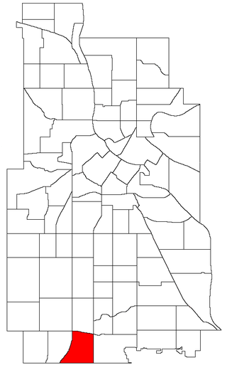
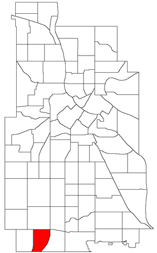
Lynnhurst is a neighborhood in the Southwest community in Minneapolis, Minnesota. Its boundaries are 46th Street to the north, Lyndale Avenue to the east, 54th Street to the south, and Penn Avenue to the west. It is located along the southeastern shore of Lake Harriet. Outflows from the lake run through a parkway for several city blocks to reach Minnehaha Creek.

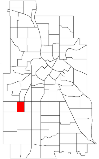
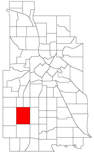
King Field is a neighborhood in the Southwest community in Minneapolis, Minnesota. Its boundaries are 36th Street to the north, Interstate 35W to the east, 46th Street to the south, and Lyndale Avenue to the west. King Field, within the King Field neighborhood is a park named after Martin Luther King Jr.

The Virginia Triangle is the commons of Hennepin and Lyndale Avenues on Lowry Hill, Minneapolis in the U.S. state of Minnesota.
